Daniel Brounoff
5:30 AM (25 minutes ago)
to me
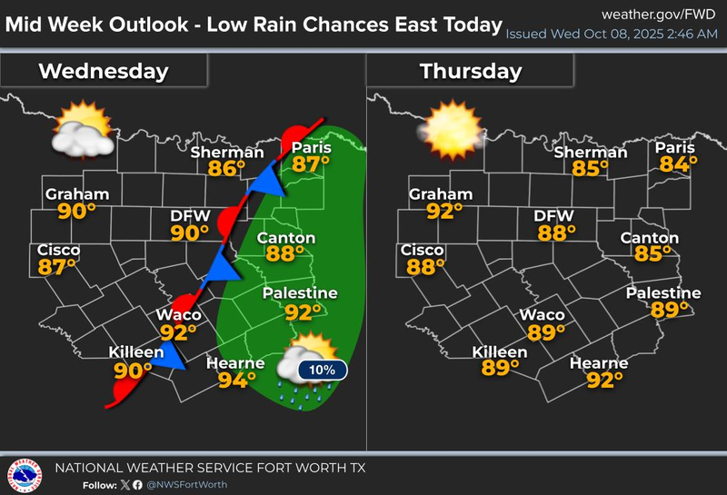
High pressure in the upper levels will continue to dominate the weather across North Texas for the next six days. This means the above-average temperature regime and below-average precipitation pattern will persist.
Good morning, ladies and gentlemen. I hope you had a great weekend. Temperatures were around 90 degrees, but at least the wind picked up yesterday, making it feel nice in the shade. This morning, temperatures are mainly in the 60s to low 70s across North Texas, with a few clouds and a south wind at 10 to 15 mph. Afternoon highs will reach near 90 degrees again. I must admit that I am getting a bit bored with this weather pattern.
This boring weather pattern will continue through the rest of the week and into most of Saturday. Afternoon highs will be near 90 degrees, while morning lows will range from 65 to 70 degrees, which is well above average for this time of year. Our average high temperature drops to 79 degrees tomorrow and will be down to 77 degrees by the weekend. I am mentioning this because it appears that our first cold front in quite some time will arrive late Saturday. This may bring a few scattered showers and storms to the area. Unfortunately, we are not expecting a significant return flow of moisture from the Gulf, as winds will be light throughout most of the week. Additionally, the upper-level steering currents will take most of the dynamics well north and northeast of Texas late Saturday. While I cannot rule out a few scattered showers and storms by midnight, most areas are expected to remain dry. I will continue to monitor this situation and provide updates if there are any changes in the coverage of rain.
We are expecting sunshine to return on Sunday as dry air filters into the area. Afternoon highs will be in the low 80s, and by next Monday morning, many areas will dip into the 50s, making it feel more like fall.
One thing I can guarantee is that a strong cold front will pass through the area by the end of the month!
Have a great day today, and thank you for following my page. Enjoy the weather when you can, the only weather you've got!
7-Day Headlines:
DFW hit 91 degrees on Sunday.
Upper level high dominates all week.
No rain at DFW for the past 17 days.
A warm and dry week ahead.
Above average temperatures.
Possible cold front late Saturday, cooler Sunday.
*Yest Rain: 0.00”; Yest High: 91 Low: 66
*Today’s Averages: High: 80; Low: 58
*Record high: 97 (1916); Record low: 38 (1977)
*October Rain: 0.00”; Deficit:
*2025 Rain: 28.16”; Deficit: 0.51”
*Sunrise: 7:32am; Sunset: 6:56pm
Monday: Mostly sunny and warm. High: Near 90. Wind: South 10-15 mph.
Monday night: Clear and pleasant. Low: Mid to upper 60s. Wind: SE 5-10 mph.
Tuesday: Sunny and warm. High: near 90. Wind: ESE 5-10.
Wednesday – Friday: Mostly sunny, continued warm. Highs: Near 90. Lows: Mid to upper 60s.
Saturday: Increasing clouds, continued warm. Slight chance of showers and storms by late evening. Cold front! High: Low 90s.
Sunday: A slight chance of showers. Cooler, but still above average temperatures. High: Low 80s.
LISTEN on the Audacy App
Tell your Smart Speaker to "PLAY 1080 KRLD"
Sign Up to receive our KRLD Insider Newsletter for more news
Follow us on Facebook | Twitter | Instagram | YouTube
