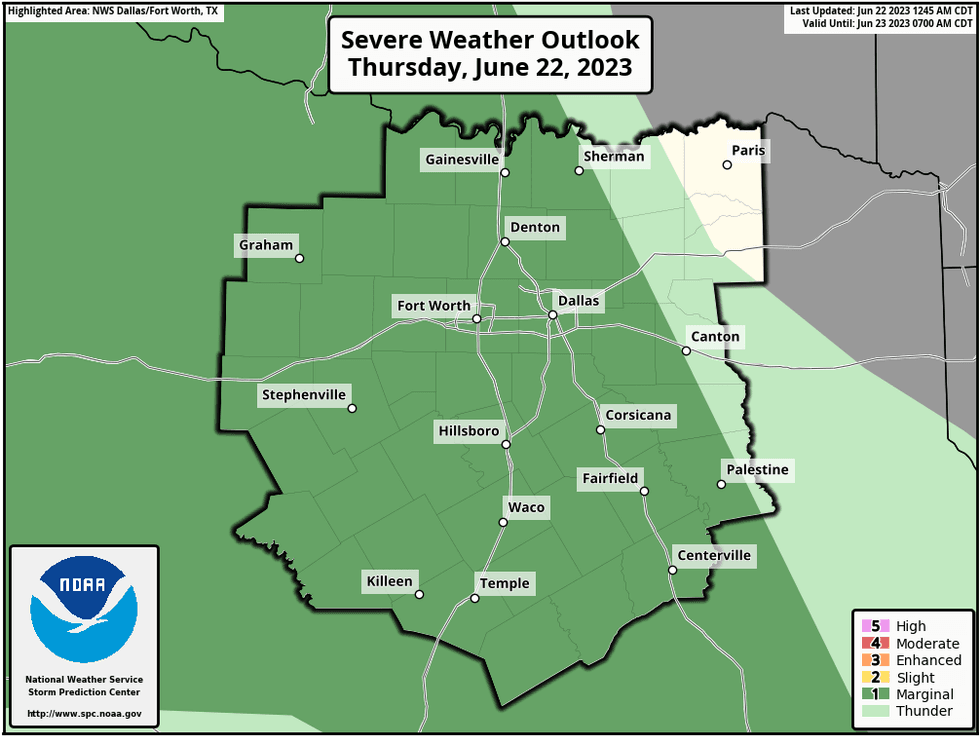
We're waking up to temperatures in the mid to upper seventies with nothing showing up on the radar. Morning clouds and a few showers are possible and then partly cloudy conditions will prevail this afternoon. There's also a very slight chance for a shower or storm this afternoon, with high temperatures in the low to mid nineties.
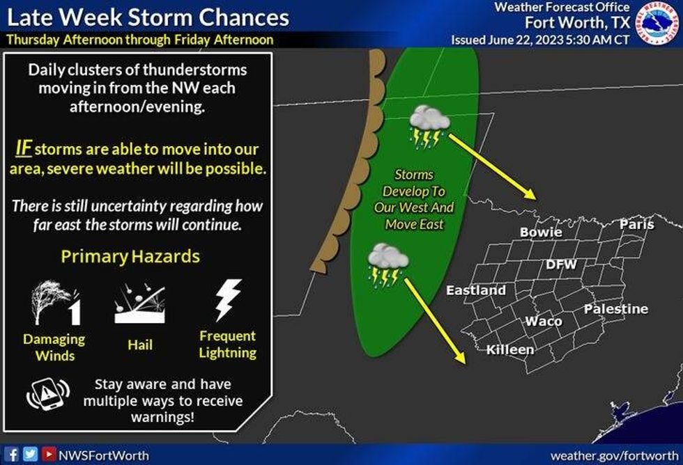
I'll be keeping my eye to the northwestern sky late tonight, as a weakening complex of storms approaches north Texas.Severity will be low, if they even make it this far east.
 National Weather Service - Fort Worth
The upper level high stays southwest of us tomorrow, with a slight chance for an afternoon shower or storm. Temperatures will reach the low to mid nineties again. The Heat Advisories will stay south of DFW once again. By late Friday evening, I'll be watching the northwestern sky again for the possibility of the west Texas storms reaching DFW towards midnight in a weekend state.
 National Weather Service - Fort Worth
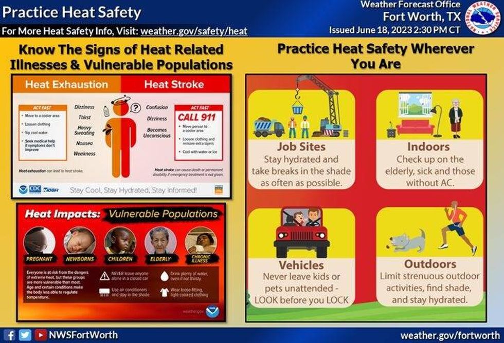
Unfortunately, the upper level high returns to north Texas this weekend, and continues to grip us next week. Excessive Heat Warnings are likely to return as soon as Sunday, lasting through next week.. Saturday's high will be reach the mid to upper 90s, pushing 100゚ on Sunday, 101 to 104 Monday through Wednesday.
*Yest Rain: 0.14"; Yest High: 92; Low: 79
*Today's Averages: High: 93 Low: 73
*Record high: 103 (1936, 1993): Record low: 58 (1902)
*June Rain: 0.77"; Deficit: 1.89"
*2023 Rain: 14.35"; Deficit: 4.90"
*Sunrise: 6:20am; Sunset: 8:40pm
 National Weather Service - Fort Worth
Today: *Heat Advisory, south of DFW* ...Morning clouds, with a slight chance of showers and storms, then afternoon sun, with an isolated shower of storm. Hot, hazy, and humid. High: Low to mid 90s. Heat index: 102-106. Wind: East 10-20 mph.
Tonight: Slight chance of overnight showers and strong storms. Low: 75-80. Wind: East 10-15 mph.
Tomorrow: Scattered showers and storms in the afternoon, then again towards midnight. High: Low to mid 90s. Heat index: 102-106. Wind: SE 10-15 mph.
Saturday: Mostly sunny, hot and humid. Possible heat advisories. High: Mid to upper 90s.
Sunday: Sunny, hot, and humid. Possible Excessive Heat Warnings. High: Upper 90s.
Monday: Sunny, hot, and humid. Possible Excessive Heat Warnings. High: Near 100.
Tuesday and Wednesday: Sunny, hot, and humid. Possible Excessive Heat Warnings. Highs: 101-104.

LISTEN on the Audacy App
Tell your Smart Speaker to "PLAY 1080 KRLD"
Sign Up to receive our KRLD Insider Newsletter for more news