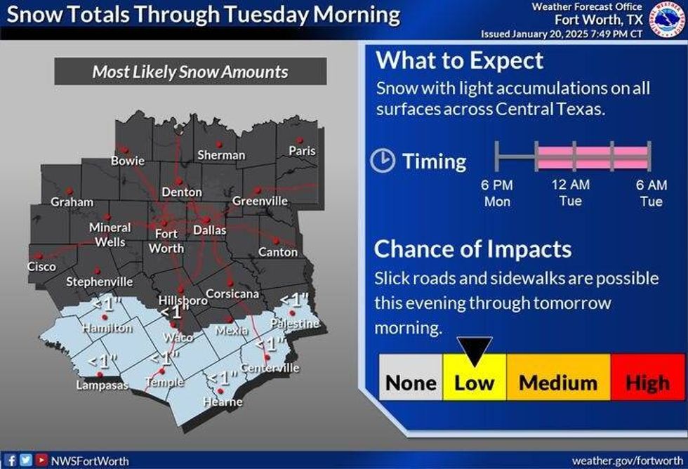
A significant winter storm will impact Central and Southeast Texas on Tuesday, including cities like Brownsville, San Antonio, Fredericksburg, Austin, College Station, Victoria, Houston, and Beaumont/Port Arthur, where blizzard warnings have been issued. It marks the first time blizzard warnings have been issued for Beaumont/Port Arthur.
Tuesday began with the coldest air of the winter season in the Lone Star State. The cold air, an upper-level disturbance, and a surface low in the Gulf have resulted in Winter Storm Warnings for all of South, Southeast, and Central Texas. Winter Weather Advisories were in effect Tuesday morning for the Hill Country.
In North Texas, temperatures plummeted into the teens and 20s, with wind chills approaching 10 degrees in some areas. Skies were clearing along the Red River, and the clearing trend was expected to continue southward throughout the morning and early afternoon, yielding a sunny and extremely cold day. Afternoon highs will struggle to reach freezing temperatures. The third arctic cold front has brought this frigid air.
Overnight temperatures will dip into the low to mid-20s, with south winds returning on Wednesday, accompanied by warming temperatures, leading to a sunny day with a high of 47 degrees.
Another reinforcing surge of cool, dry air will move into the area on Wednesday night, maintaining chilly conditions. Temperatures will drop into the 20s again on Wednesday night, followed by a sunny Thursday with a high of 48°F.
A south wind will return, picking up on Friday and Saturday, warming temperatures to near 60 degrees. There is also a chance of scattered showers late on Saturday and early Sunday. Sunday's highs will reach the low 50s behind the next system.
Clouds will persist on Monday, with temperatures remaining below average and afternoon highs warming into the upper 40s.
 National Weather Service
7-Day Headlines
DFW reached 34 degrees on Monday.
Winter Weather Advisory (ends at 9 a.m.) south of a Palestine-to-Killeen line.
Super cold Tuesday!
Sun returns by lunchtime and sticks around through Friday.
Staying chilly for a while.
Another front this weekend, but not too cold.
A few showers possible late Saturday
________________________________________________________*Monday Rain: 0.00"; Monday High: 34 Low: 20
*Tuesday's Averages: High: 57; Low: 36
*Record high: 79 (1909, 1953, 2005): Record low: 7 (1935)
________________________________________________________
*January Rain: 1.56"; Deficit: .
*2025 Rain: 1.56"; Deficit:
*Sunrise: 7:29am; Sunset: 5:51pm
_________________________________________________________
Tuesday: *Winter Weather Advisory* until 9 a.m., south of a Palestine-to-Killeen line. Decreasing clouds and cold. High: Low to mid-30s. Wind: North 10-20 mph.
Tuesday night: Clear and pipe bursting cold. Low: Low to mid 20s.
Wednesday: Clear, continued cold High: Mid to upper 40s.
Thursday: Mostly sunny and chilly. High: Upper 40s.
Friday: Sunny and seasonable. High: Mid to upper 50s.
Saturday: Mostly cloudy and mild. Slight chance of rain late. High: Mid to upper 50s.
Sunday: Mostly cloudy and cool. High: Low 50s.
Monday: Mostly cloudy and cool. High Upper 40s.
LISTEN on the Audacy App
Tell your Smart Speaker to "PLAY 1080 KRLD"
Sign Up to receive our KRLD Insider Newsletter for more news
Follow us on Facebook | Twitter | Instagram | YouTube