


Currently tracking a cold front this morning, which is expected to arrive around the noon hour. However, prior to its arrival, temperatures will rise into the upper 50s today, reaching a high of 56 degrees. This cold front is part of a series of cold fronts anticipated in my 7-day forecast.
Good morning, ladies and gentlemen, and welcome to Friday. With the weekend approaching, the Fort Worth Stock Show and Rodeo commences today, and historically, this event is accompanied by cold temperatures, at least intermittently. Cold fronts are arriving just in time, the first in a series arrives by the noon hour today.
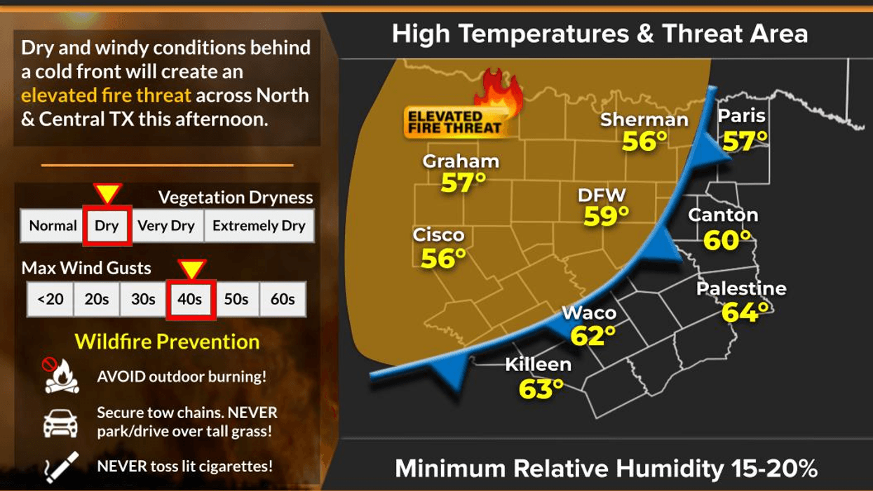
We are starting off in the 40s this morning and will reach the upper 50s this afternoon. Following lunchtime, winds will pick up, gusting up to 35 mph, as temperatures continue to drop this evening and throughout the overnight tonight, with increasing cloud cover. By tomorrow morning, temperatures will be near freezing, with wind chills in the 20s.
Clouds will increase tomorrow morning as a strong upper-level disturbance passes to the north of us. This disturbance is exceptionally strong and will squeeze any available moisture out of the atmosphere, resulting in light sprinkles and possibly a few snow flurries along the north of Highway 380. While no accumulation is expected, the sun will be out by late tomorrow afternoon, although temperatures will remain in the 40s throughout the day.
Skies will clear late Saturday, leading to the coldest morning of the winter season so far on Sunday, with temperatures plummeting into the low to mid-20s. Please ensure you take necessary precautions to prevent pipes from bursting before bedtime Saturday and bring pets indoors. Sunday will be beautiful and seasonable, with plenty of sunshine and highs near 60 degrees.
For Martin Luther King Day, increasing high clouds will precede another cold front arriving around the noon hour, with temperatures only reaching about 50 degrees. Tuesday and Wednesday will also see temperatures around 50 degrees, with our next rain chance finally arriving by Wednesday, potentially bringing between a quarter and half inch of rain. After a prolonged dry spell, this precipitation will be welcome.
Thursday will return to sunshine, with highs near 60 degrees.
Have a great day today, an enjoyable weekend, and please enjoy the weather when you can, it's the only weather you've got!
7-Day Headlines:
* DFW Airport reached 59 yesterday.
* Another cold front on the way.
* Sprinkles and possible flurries (North) for some Saturday.
* A chilly Saturday for all!
* HARD freeze Sunday morning.
* Another cold front MLK day.
* Rain chances FINALLY return Wednesday.
*Yest Rain: 0.00"; Yest High: 59; Low: 42
*Today's Averages: High: 56; Low: 36
*Record high: 81 (1935); Record low: 11 (1930)
*January Rain: 0.01"; Deficit:
*2026 Rain: 0.01"; Deficit:
*Sunrise: 7:30am; Sunset: 5:46pm
Friday: Partly cloudy, turning windy and colder by noon (cold front). High: Near 60. Wind: North 15-25, G35 mph.
Friday night: Increasing clouds and chilly. Low: Low to mid 30s. Wind: NW 10-15 mph.
Saturday. Mostly cloudy, breezy and chilly. A few sprinkles possible. Some snow flurries may fly north of Hwy 380. High: Low to mid 40s. Wind North 10-20 mph.
Sunday: HARD morning freeze, then sunny and cool. High: Near 60.
Monday: High clouds and cool. Another front arrives. High: Near 50.
Tuesday: Increasing clouds, staying cool. High: Near 50.
Wednesday: Cloudy and chilly. Rain FINALLY moves in. High: Near 50.
Thursday: Partly cloudy and a bit warmer. Another cold front late. High: Low 60s.
LISTEN on the Audacy App
Tell your Smart Speaker to "PLAY 1080 KRLD"
Sign Up to receive our KRLD Insider Newsletter for more news
Follow us on Facebook | Twitter | Instagram | YouTube


