


Tuesday was the coldest morning of the fall with temperatures in the 30s. It will be sunny, calm, and cool with afternoon highs near 60 degrees. Sixty-three degrees is average for this time of year.
A south wind will pick up overnight which will help keep the temperatures a bit warmer. Readings will fall into the 48-53 degree range. Wednesday will be mostly sunny, breezy, and warmer. Afternoon highs in some areas may kiss the 80-degree mark.
By Wednesday evening, clouds will rapidly increase as the next cold front comes into the area. There may even be a few sprinkles overnight into early Thanksgiving morning, but they won't amount to much. Morning lows will dip into the low to mid-40s with a north wind gusting to 25 mph.
Thanksgiving morning will start out cloudy with a sprinkle or two, with decreasing clouds by late morning. It will be breezy and cool with highs only in the low to mid 50s. A north wind will blow between 10 and 20 mph.
On Friday much of the area will experience the first freeze of the fall, especially just outside of the Dallas-Fort Worth area. Freeze warnings and frost advisories will most likely be issued. The sun will be out during the day, but it won't warm us up too much. Afternoon highs will reach the low 50s.
We dip back into the 30s for Saturday morning, but we'll warm up to near 60 degrees. However, another cold front arrives late Saturday into Sunday dropping temperatures into the mid 50s on Sunday under a partly cloudy sky.
Clouds increase on Monday and it will remain chilly with afternoon highs only in the upper 40s. If we're lucky, we may see a little bit of rain around here on Tuesday of next week.
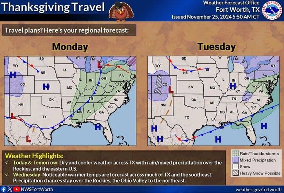 Thanksgiving travel forecastNational Weather Service
7-Day Headlines
* DFW Airport reached 68 on Monday.
* A cold start to Tuesday morning, a cool end to the day.
* A brief warm-up on Wednesday with increasing clouds late.
* Another cold front Wednesday evening.
* A few sprinkles early Thanksgiving morning, then sunny, breezy, and chilly.
* A cool holiday weekend.
_____________________________________________________
*Monday Rain: 0.00"; Monday High: 68; Low: 44
*Tuesday's Averages: High: 63; Low: 43
*Record high: 88 (1965); Record low: 23 (1993)
________________________________________________________
*November Rain: 1.60"; Deficit: 0.56"
*2024 Rain: 35.75"; Surplus: 1.95"
*Sunrise: 7:09am; Sunset: 5:22pm
________________________________________________________
Tuesday: Sunny, calm, and cool. High: Near 60. Wind: Variable 5-10 mph.
Tuesday night: Partly cloudy, not as cool. Low: 48-53. Wind: South 10-20 mph.
Wednesday: Mostly sunny and warm, then increasing clouds by evening along the next cold front. A few overnight sprinkles. High: Upper 70s. Wind: South to North 15-25 mph.
Thursday: Morning clouds/sprinkles, then Partly cloudy, breezy, and colder. High: Low to mid-50s.
Friday: Morning freeze for some. Partly cloudy and chilly. High: Low 50s.
Saturday: Partly cloudy and seasonable. High: Near 60.
Sunday: Partly cloudy, windy and cooler. High: Low 50s.
Monday: Increasing clouds and chilly. High: Upper 40s.
LISTEN on the Audacy App
Tell your Smart Speaker to "PLAY 1080 KRLD"
Sign Up to receive our KRLD Insider Newsletter for more news
Follow us on Facebook | Twitter | Instagram | YouTube


