Several Severe Thunderstorm Warnings for counties including Dallas, Collin and Denton have been allowed to expire at 4 p.m. Friday.
Most of North Texas remains under a Severe Thunderstorm Watch until 8 p.m. Friday with pocket change-size hail and isolated damaging winds as possible threats.
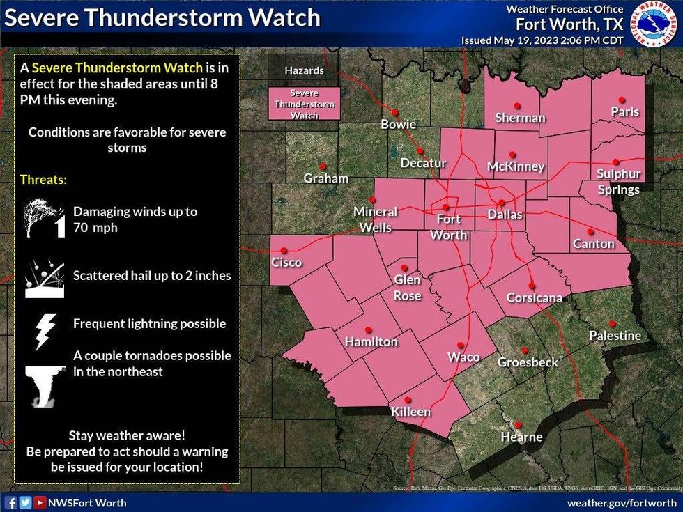 A Severe Thunderstorm Watch is in effect for most of North Texas until 8 p.m. FridayNational Weather Service
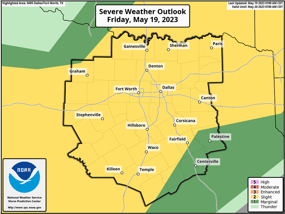
A Friday cold front will produce scattered showers and isolated severe storms after 4 p.m. in North Texas. These storms will weaken as they move south of DFW after 9 p.m. Pocket change size hail and isolated damaging wind are the threats.
 National Weather Service - Fort Worth
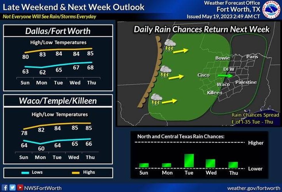
This cold front will move through DFW before midnight, clearing the storms out and ushering in cooler/drier air just in time for the weekend.
We'll start off Saturday morning in the upper 50s to the low 60s. Plenty of sunshine will greet you during the day, with highs in the mid-70s.
 National Weather Service - Fort Worth
We'll wake up Sunday morning in the upper 50s to the low 60s. Enjoy plenty of sunshine during the day with highs approaching 80 degrees.
Monday and Tuesday we'll see plenty of sunshine with afternoon highs in the low eighties. There is a chance for some late-evening storms as well.
More of the same for Wednesday and Thursday. Partly cloudy and warm with highs in the mid-80s. There's also the threat of late evening showers and storms each day, but coverage won't be that great.
*Yest Rain: 0.00"; Yest High: 88; Low: 64
*Today's Averages: High: 85; Low: 66
*Record high: 99 (2008): Record low: 50 (1983)
*May Rain: 1.07"; Deficit: 1.73"
*2023 Rain: 12.30"; Deficit: 2.31"
*Sunrise: 6:26am; Sunset: 8:24pm
Friday: A muggy start, a few morning showers, then partly cloudy, hot and humid. Scattered strong and isolated severe storms (4pm-9pm). Threats: Hail and wind. High: Low 90s. Wind: South 10-20 mph.
Friday night: Evening showers and storms. Isolated severe. Turning breezy and cooler. Low: 58-62. Wind: North 10-20 mph.
Saturday: Mostly sunny and pleasant. High: Mid 70s.
Sunday: High clouds and pleasant. High: Upper 70s.
Monday and Tuesday: Partly cloudy and nice. Isolated evening showers and storms. High: Low 80s.
Tuesday and Wednesday: Partly cloudy and seasonable. Isolated evening showers and storms. High: Mid 80s.

LISTEN on the Audacy App
Tell your Smart Speaker to "PLAY 1080 KRLD"
Sign Up and Follow NewsRadio 1080 KRLD
Facebook | Twitter | Instagram