


If you like humidity, you like the forecast for the next couple of days. If you like cool or dry air, you'll like the forecast starting Thursday afternoon. And, if you want more rain, which a lot of us don't, there's not a lot in the forecast until late into the weekend and early next week.
Tuesday featured a muggy start to the day Low clouds invaded overnight and temperatures fell into the low to mid-70s. The clouds will burn off quickly this morning and it'll be warm and humid with afternoon highs in the upper 80s. Heat index values will reach the mid-90s. There may be a couple of storms forming to the southwest of Dallas-Fort Worth that will try to head our direction later this afternoon, but the majority of us will stay dry.
The dryline in West Texas will try to get active late Wednesday afternoon and evening, but the best storm chances look to be just east and northeast of the Dallas-Fort Worth area. Afternoon highs will reach the low 90s, but the heat index values will reach the mid to upper 90s.
A very strong cold front for this time of the year will press through the area early Thursday morning. This front will spark some severe storms just south and east of the Dallas-Fort Worth area Thursday afternoon, but I think most of us will stay dry along the north of Interstate 20. It will turn windy and cooler with afternoon highs only in the upper 70s. The average high this time of the year is 81 degrees.
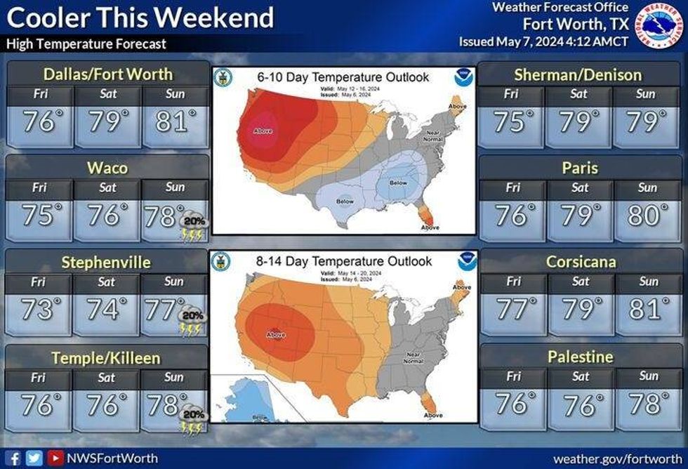
Friday and Saturday look downright gorgeous with low humidity. Morning lows will be in the 50s. It'll reach 75 degrees on Friday and the upper 70s on Saturday. By Sunday, a south wind will return with a slight chance for storms to break out west of the Dallas-Fort Worth area as we top out near 80 degrees.
Right now, Monday looks pretty stormy. More information as we get closer. Highs will be in the low 80s.
 North Texas forecast for May 10-12, 2024.National Weather Service
7-Day Headlines:
* DFW Airport reached 84 Monday.
* Isolated evening storms Tuesday.
* Heating up Tuesday and Wednesday. Highs near 90. Heat index: Upper 90s.
* Isolated severe storms late Wednesday, mainly east and NE of DFW.
* Thursday morning cold front. Severe weather stays south and east.
* Cooler/drier air Friday - Sunday.
* Storms may return Monday.
_____________________________________________________
*Monday Rain: 0.00"; Monday High: 84; Low: 71
*Tuesday's Averages: High: 80; Low: 62
*Record high: 96 (1918) Record low: 41 (1919)
______________________________________________________
*May Rain: 2.28"; Surplus: 1.38"
*2024 Rain: 19.55"; Surplus: 6.84"
*Sunrise: 6:35am; Sunset: 8:15pm
________________________________________________________
Tuesday: Morning clouds, afternoon sun. Warm and humid. Slight chance of showers toward evening. High: Upper 80s. Heat index: Mid 90s. Wind: Variable 5-10 mph.
Tuesday night: Isolated evening storms, otherwise increasing low clouds after midnight. Low: Low 70s. Wind: South 10-20 mph.
Wednesday: Morning clouds, afternoon sun. Warm, humid and windy. Slight storm chance by late afternoon. Best chance east and NE of Central and I-45. High: Low 90s. Heat index: Upper 90s. Wind: SSW 15-25, G30 mph.
Thursday: Partly cloudy, breezy and cooler. Storms form south and east of DFW. High: Upper 70s.
Friday: Mostly sunny and nice! Lower humidity. High: Mid 70s.
Saturday: Mostly sunny and pleasant. High: Upper 70s.
Sunday: Partly cloudy, continued seasonable. Slight storm chance west of I-35W. HIgh: Near 80.
Monday: Partly cloudy and seasonable. Chance of showers and storms. some possibly severe High: Low 80s.
LISTEN on the Audacy App
Tell your Smart Speaker to "PLAY 1080 KRLD"
Sign Up to receive our KRLD Insider Newsletter for more news
Follow us on Facebook | Twitter | Instagram | YouTube


