


(Talk1370.com) -- Showers and storms return to the forecast across Central Texas Tuesday, with chances increasing towards Wednesday evening.
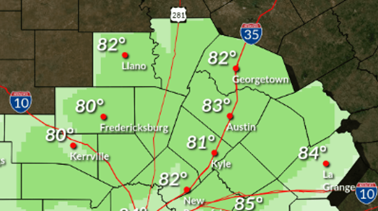
Highs will reach into the lower 80s Tuesday, with a 40 percent chance of scattered showers and storms possible for much of the day. Parts of the Hill Country are under the gun for potentially severe storms. Winds will be out of the south at 10 to 15mph, with gusts up to 25mph.
A 20 percent chance of showers and storms will continue after midnight, with lows falling into the lower 70s. South winds will continue at 10 to 15mph with gusts to 30mph.
Here's a look at the extended forecast:
WEDNESDAY...Cloudy with a slight chance of showers and isolated thunderstorms in the morning, then partly cloudy with chance of showers and thunderstorms in the afternoon. Some thunderstorms may be severe. Highs in the upper 80s. South winds 10 to 20 mph with gusts to around 30 mph. Chance of rain 50 percent.
WEDNESDAY NIGHT...Showers and thunderstorms. Some thunderstorms may be severe. Lows in the mid 60s. South winds 15 to 20 mph. Gusts up to 25 mph before midnight. Chance of rain 80 percent.
THURSDAY...Not as warm. Mostly cloudy with showers and thunderstorms likely in the morning, then partly cloudy with a slight chance of showers and thunderstorms in the afternoon. Highs in the upper 70s. Northwest winds 10 to 15 mph with gusts to around 25 mph shifting to the north with gusts to around 25 mph in the afternoon. Chance of rain 60 percent.
THURSDAY NIGHT THROUGH FRIDAY NIGHT...Partly cloudy. Lows in the mid 50s. Highs in the mid 70s.
SATURDAY AND SATURDAY NIGHT...Mostly clear. Highs around 80. Lows in the upper 50s.
SUNDAY THROUGH MONDAY...Partly cloudy. Highs in the upper 80s. Lows in the lower 60s.


