AUSTIN (Talk1370.com) -- First came freezing temperatures... now Central Texas awaits an expected brush with wintry precipitation Monday night into Tuesday morning.
A Winter Storm Warning will be in effect from 6PM Monday until 6PM Tuesday for the entire Austin metro...
A Cold Weather Advisory remains in effect until Noon on Wednesday for the entire Austin metro...
While a few snow flurries are possible during the afternoon hours on Monday, our biggest threat for wintry precipitation will begin after sunset - with the real event happening during the overnight hours of Tuesday morning.
Forecast accumulation totals have been trending downward slightly since Sunday; much of that is due to the potential for an amount of dry air impacting those accumulations. Right now, much of the I-35 corridor in the Austin metro is now expected to see about an inch of snow, with higher totals approaching 2-3 inches in the eastern parts of Bastrop and Caldwell Counties.
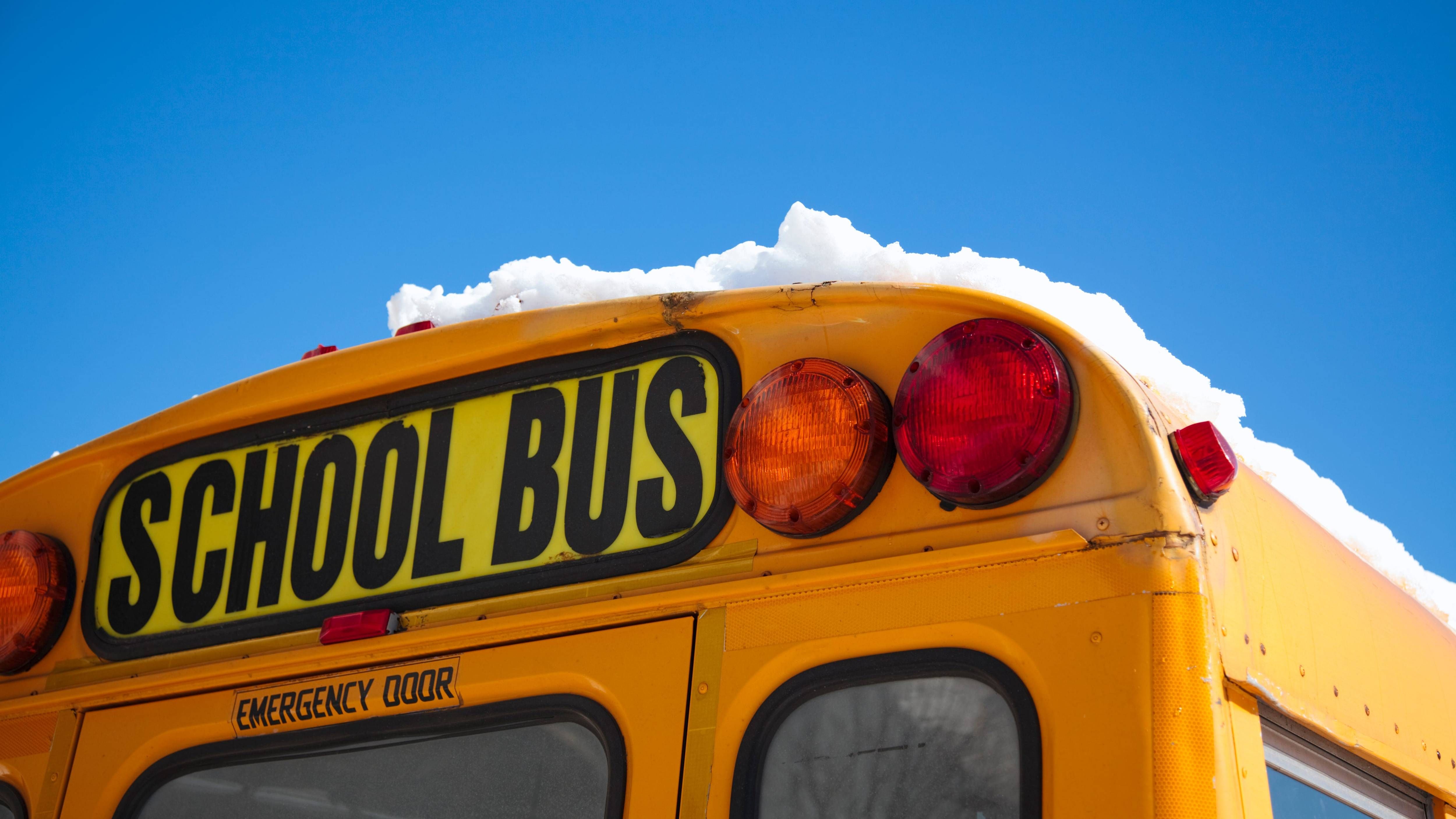
Travel impacts are possible Tuesday morning, particularly on bridges and overpasses which tend to freeze over first. Virtually all Austin-area school districts and colleges have already canceled classes for Tuesday.
While temperatures are expected to rise above freezing Tuesday afternoon, it will only be by a couple of degrees - with a very hard freeze expected Tuesday night into Wednesday morning. That could prompt additional travel concerns with any leftover precipitation on the roadways re-freezing.
Temperatures will warm well into the 40s Wednesday afternoon, which should bring an end to any concerns about frozen roadway impacts.