


NOTE: This article is no longer being updated. Click here for the latest.
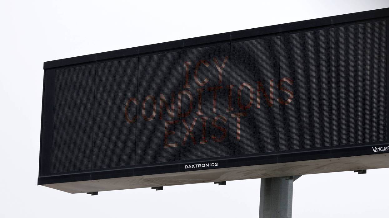
Freezing precipitation has come to an end across Central Texas, but a thick layer of sleet and ice will continue to make travel difficult for another 24-48 hours.
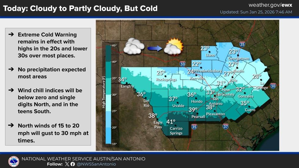
...Extreme Cold WARNING until Noon Monday...
...Ice Storm WARNING for Travis, Hays, Williamson counties until Noon...
...Winter Storm WARNING for Caldwell, Bastrop counties until Noon...
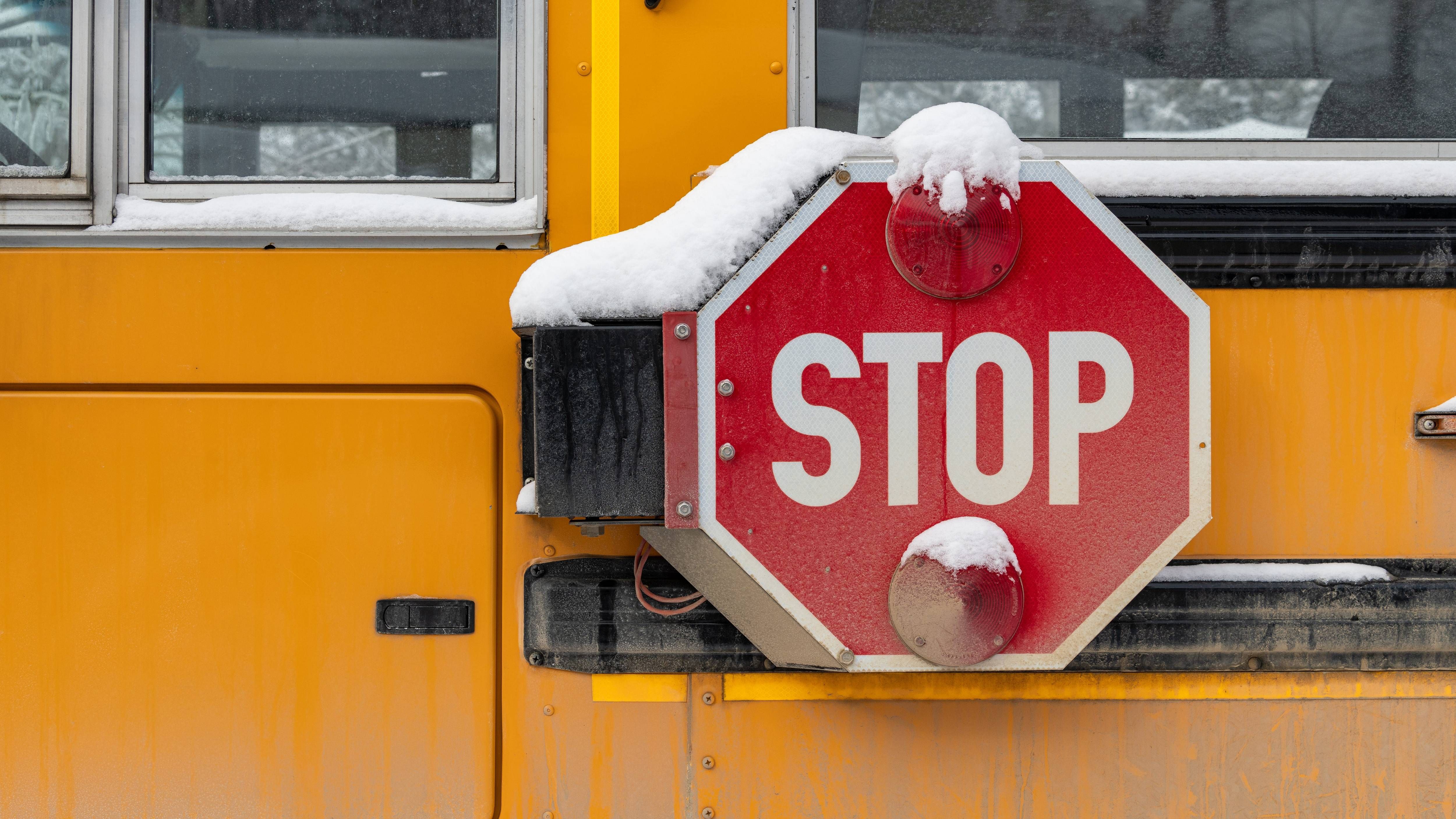
Several Austin-area school districts have made the decision to close schools for Monday with continued travel impacts expected. We're tracking a list here.
Officials have said many of the area's roadways are difficult to traverse, and continue to stress that you should stay off the roads unless it's absolutely necessary.
Austin Mayor Kirk Watson, Travis County Judge Andy Brown, and other officials are set to hold a press briefing at 11:30 a.m. this morning. We'll carry that live on Talk 1370 when it happens.
Temperatures are expected to stay below freezing for most of the area on Sunday, although road conditions may improve slightly as crews treat impacted roadways and sunshine brings some melting potential. However, with temperatures remaining below freezing and another night of bitter cold ahead, anything that does melt will almost certainly re-freeze.
 NOAA / National Weather Service
By Monday morning, temperatures are again expected to plunge into the teens, with a forecast low of 15 in Austin.
Stay tuned for regular forecast updates and other important information, on-air and online, throughout the weekend.


