


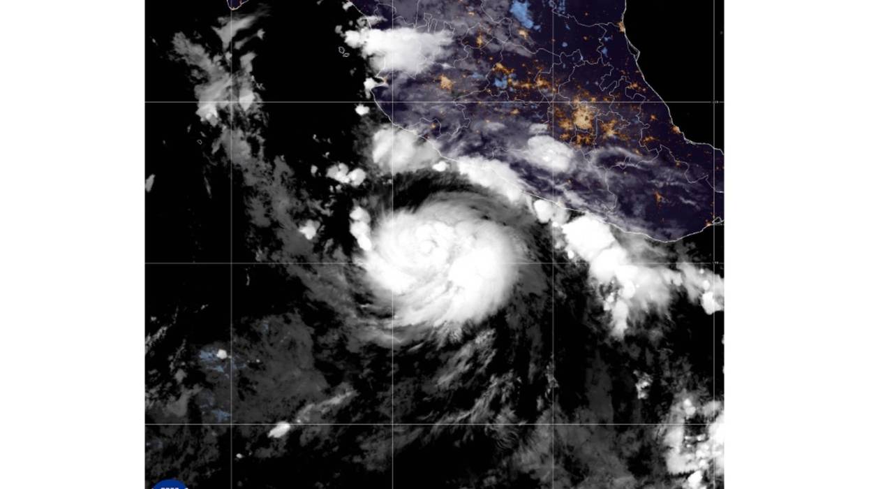

MIAMI (AP) — Tropical Storm Polo will rapidly intensify in the Pacific Ocean and become a major hurricane later this week, forecasters said Monday.
Polo could bring heavy rain, rough surf and tropical-storm-force wind to parts of Mexico late Tuesday into early Wednesday, according to an advisory from the Miami-based National Hurricane Center.
Meteorologists predicted Monday that Polo would drop 4 to 8 inches (10 to 20 centimeters) of rain, with isolated totals near 12 inches (30 centimeters), across coastal portions of the Mexican states of Guerrero and Michoacán through Thursday. Flooding and mudslides were possible.
Still a tropical storm as of Monday, Polo had maximum sustained winds of 65 mph (105 kph). It was centered about 255 miles (410 kilometers) south-southeast of Manzanillo, Mexico, and 200 miles (322 kilometers) southwest of Zihuatanejo. The system was moving east at 5 mph (8 kph).
Farther west in the Pacific Ocean, Tropical Storm Odalys was far from land but expected to become a hurricane by midweek.
Odalys had maximum sustained winds Monday of 45 mph (72 kph). It was located just over 1,400 miles (2,253 kilometers) west-southwest of the southern tip of Mexico's Baja California peninsula. It was moving northwest at 12 mph (19 kph).
In the Atlantic Ocean, Tropical Storm Fay was weakening. Top winds were down to 50 mph (80 kph) and Fay was 430 miles (692 kilometers) southwest of the Azores.
No Atlantic hurricanes have formed yet this year, and this year has set a record for the longest a season has begun without a hurricane. The effects of this year's El Nino crush storms before they get going.