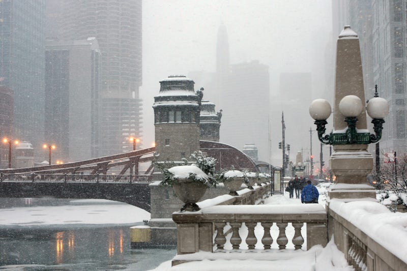

A band of lake-effect snow could bring “rounds” of snow to the Chicago area Friday and Saturday.
The first stretch of lake-effect snow — which occurs when cold air passes over warm waters and transfers moisture into the lowest part of the atmosphere — is expected to start around 9 a.m. and taper off by the early afternoon before picking back up Friday evening into Saturday, according to the National Weather Service.
Areas closer to the lakefront could see 4 to 6 inches of snow overall while O’Hare and Midway airports are expected to get closer to 2 to 4 inches, the weather service said.
A winter weather advisory is in effect from 9 a.m. to 6 p.m. Friday for Cook, DuPage, Lake and southern Will counties, according to the weather service. A winter storm. watch will then go into effect at 6 p.m. Friday until noon Saturday for the same counties. A winter storm warning was in effect for northwest Indiana where snowfall totals could reach double digits.
Snowfall rates could reach over two inches per hour overnight and could make for hazardous travel conditions.
“These lake effect bands are always a little tricky because they’re so narrow and a lot of times they’re so fluent, they kind of wobble back and forth a lot and it’s kind of tough to get a handle on,” Kevin Doom, a meteorologist with the weather service said.
Doom advises against traveling during the storms due to the reduced visibility, but urges motorists to use caution if they have to commute.
“You will experience some pretty unfavorable travel, for sure,” Doom said.