


Buffalo, N.Y. (WBEN) - A stretch of summer weather continues across the region this week, with chances of showers and thunderstorms interrupting otherwise pleasant July conditions.
 AccuWeather.com
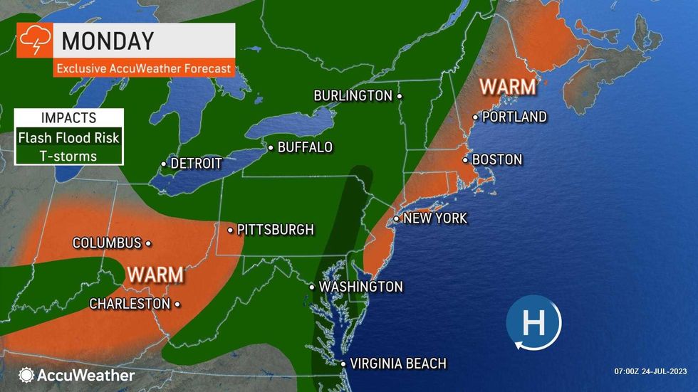
A weather system crossing the Buffalo-Niagara region today will lead to some showers and possibly gusty thunderstorms scattered across the area.
"Chances of spotty showers and thunderstorms most days this week along with plenty of rain free time," say the forecasters at the National Weather Service in Buffalo.
A spike in heat could produce some of the highest temperatures of the summer so far in the Northeast toward the end of the week, AccuWeather forecasters say. The surge in warmth will accompany a much-needed drying-out period after the region was bombarded by frequent slow-moving and moisture-packed storms over the past month.
Wednesday will be a perfect summer day, NWS forecasters say, with mainly dry and warm conditions.
Late in the week, the heat and humidity builds in a big way, say NWS forecasters. "Daytime highs running in the upper 80s and low 90s on Thursday, combined with dew points in the upper 60s and in some cases low 70s, will lead to apparent temperatures across much of the lake plains and valley areas in the mid 90s. Some apparent temperatures may even approach 100 in the climatologically warmer valley locations. Friday will be another very humid day, however daytime highs may be a few ticks lower. Nonetheless, it will still be another hot day with apparent temperatures in the low to possibly mid 90s."


