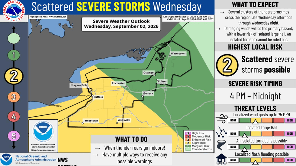


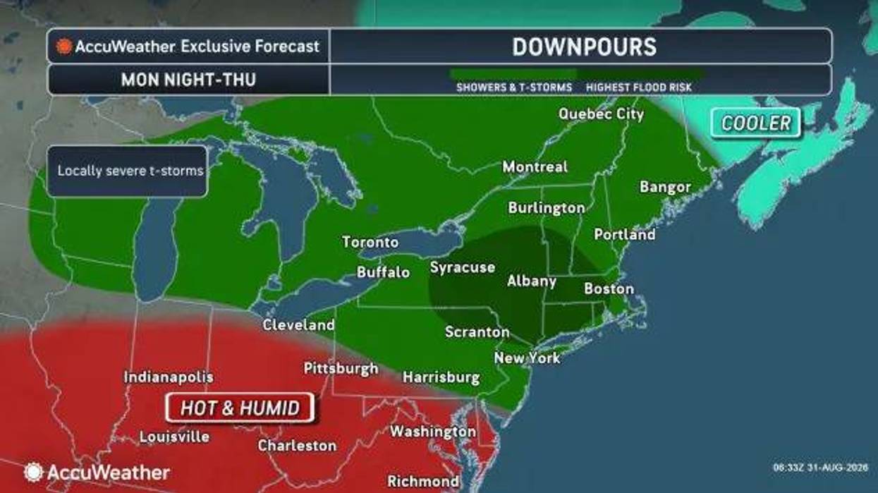

Buffalo, N.Y. (WBEN) - Spotty showers and possible thunderstorms will pop up around the Buffalo-Niagara region Tuesday before a greater threat of severe weather arrives Wednesday, including a chance at an isolated tornado. All the while, humidity will tick upwards.
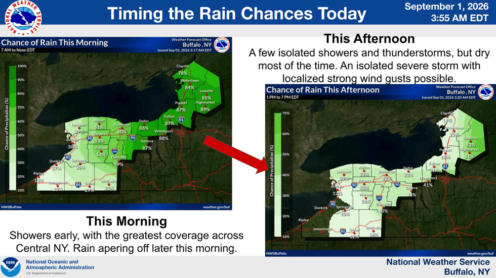
"For [Tuesday], a few spotty showers this morning then a couple more very isolated thunderstorms possible this afternoon especially north of Buffalo in Niagara and Orleans County, and also south of Buffalo in the southern tier," National Weather Service meteorologist Jon Hitchcock tells WBEN.
If a storm does come Tuesday afternoon or evening it could bring damaging winds, Hitchcock adds. A greater threat for severe storms arrives later Wednesday afternoon and Wednesday night.
"The main risk being damaging straight line winds and also possibly some hail. And can't rule out an isolated tornado either later tomorrow and tomorrow night," Hitchcock says.
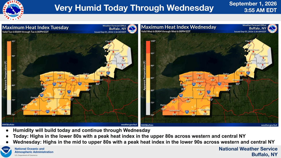
On top of being wet Tuesday and Wednesday, it's also going to be muggy. Highs Tuesday will be in the low 80s but it will feel like the upper 80s. Wednesday will be even warmer with highs in the mid 80s and heat indexes in the low 90s.
"It does look better then later in the week. The heat and humidity goes away by Friday and it looks like we're setting up for a pretty nice holiday weekend," Hitchcock says.
Saturday, Sunday and Labor Day Monday will be mainly dry and cooler with highs in the 70s.
NWS Buffalo
Greatest chances of rain Tuesday.