


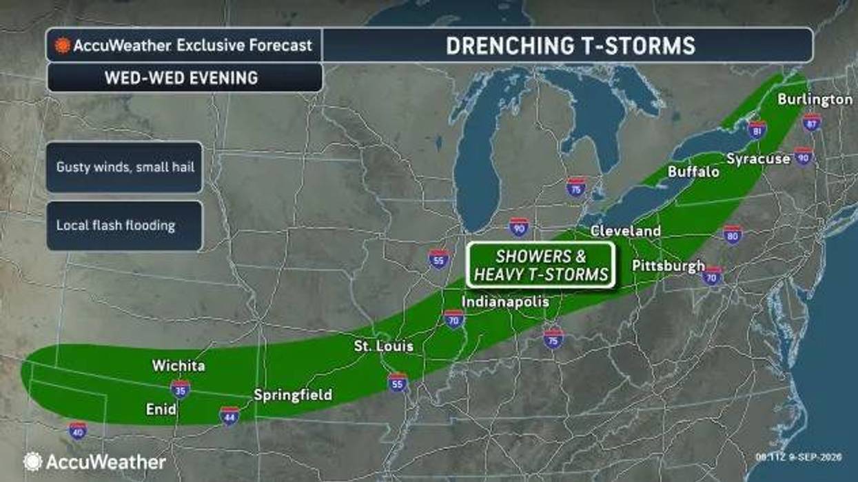

Buffalo, N.Y. (WBEN) - Our spell of dry weather following last week's flood will end Wednesday, bringing along storms that may turn severe.
"Across Western New York, we have showers that are gonna move in this morning and then we have the chance for some thunderstorms this afternoon into this evening," National Weather Service meteorologist Heather Kenyon tells WBEN. "Some of those thunderstorms may be severe."
Those scattered storms are expected to mainly hit the western southern tier.
"These thunderstorms may produce damaging winds so it's still very important to have multiple ways to receive any warnings," Kenyon says.
The best chance for severe weather will fall between 4pm and 11pm Wednesday. Relief will come quick with another dry spell coming.
Showers and scattered thunderstorms are expected across the region through this evening. A few of these thunderstorms may become severe with damaging wind gusts as the primary risk. Severe thunderstorms are most likely between 4pm and 11pm. pic.twitter.com/FaUa2i1w5U
— NWS Buffalo (@NWSBUFFALO) September 9, 2026
"Showers may linger early Thursday morning and then we dry out, and we should remain dry through most of the day on Saturday," Kenyon tells us.
"We could see some isolated showers across the southern tier on Saturday afternoon, but really it looks like Sunday. So a nice dry period."
Last week's flooding came suddenly. Kenyon says this is a different type of setup that isn't as volatile as last week's storm.
Scattered and strong thunderstorms may develop Wednesday afternoon into the evening
Scattered and strong thunderstorms may develop Wednesday afternoon into the evening