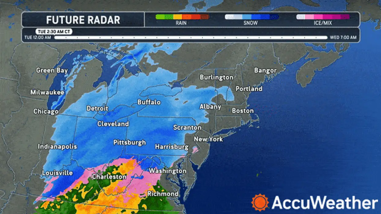
As is so often the case with the weather in Western New York, it's all about the timing.
And a weather system impacting the metro Buffalo region Tuesday is no different.
Snow accumulations will be relatively minor, however due to the timing of the peak coverage and intensity lying during the morning commute, impacts will be possible.
The snow will rapidly taper off from west to east this afternoon
"The snow will last the rest of the morning," National Weather Service meteorologist Liz Jurkowski tells WBEN. "It should be ending by this afternoon."
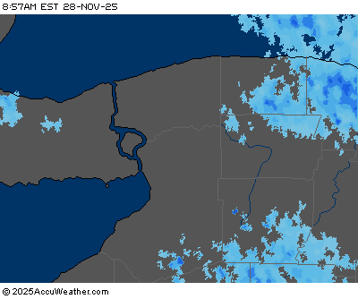
CURRENT RADAR
There is the potential for some lake effect snow to develop in the afternoon, south of the Buffalo metro area.
A Winter Weather Advisory is now posted Tuesday for ALL of Western New York through Tuesday evening.
Accumulations
"Overall totals through this afternoon should be 2 to 4 inches across all of Western New York," Jurkowski says. "Some higher terrain might see about 5 inches, but most of Buffalo will see 2 to 4."
The Tuesday afternoon commute should be much better than the morning, as the snow will be ending or over at that point.
More widespread snow is forecast for the region Wednesday night into Thursday.
WINTER WEATHER ADVISORY REMAINS IN EFFECT UNTIL 7 PM EST THIS EVENING
* WHAT...Snow expected. Total snow accumulations 2 to 4 inches. The snow will peak in intensity during the Tuesday morning commute.
* WHERE...Niagara, Orleans, Monroe, Northern Erie, and Genesee Counties.
* WHEN...Until 7 PM EST this evening.
* IMPACTS...Plan on snow covered and slippery road conditions with reduced visibility. The hazardous conditions will impact the Tuesday morning commute.
PRECAUTIONARY/PREPAREDNESS ACTIONS...
Periods of snow will result in snow covered roads and limited visibilities. Slow down and use caution while driving.
WINTER WEATHER ADVISORY REMAINS IN EFFECT UNTIL 7 PM EST THIS EVENING
* WHAT...Snow expected. Total snow accumulations 2 to 4 inches in most areas, with local 4 to 6 inch amounts possible across the higher terrain of the Southern Tier and southern Tug Hill Plateau.
The snow will peak in intensity during the Tuesday morning commute.
* WHERE...Wayne, Northern Cayuga, Oswego, Lewis, Wyoming, Livingston, Ontario, Chautauqua, Cattaraugus, Allegany, and Southern Erie Counties.
* WHEN...Until 7 PM EST this evening.
* IMPACTS...Plan on snow covered and slippery road conditions with reduced visibility. The hazardous conditions will impact the Tuesday morning commute.
PRECAUTIONARY/PREPAREDNESS ACTIONS...
Periods of snow will result in snow covered roads and limited visibilities. Slow down and use caution while driving.