

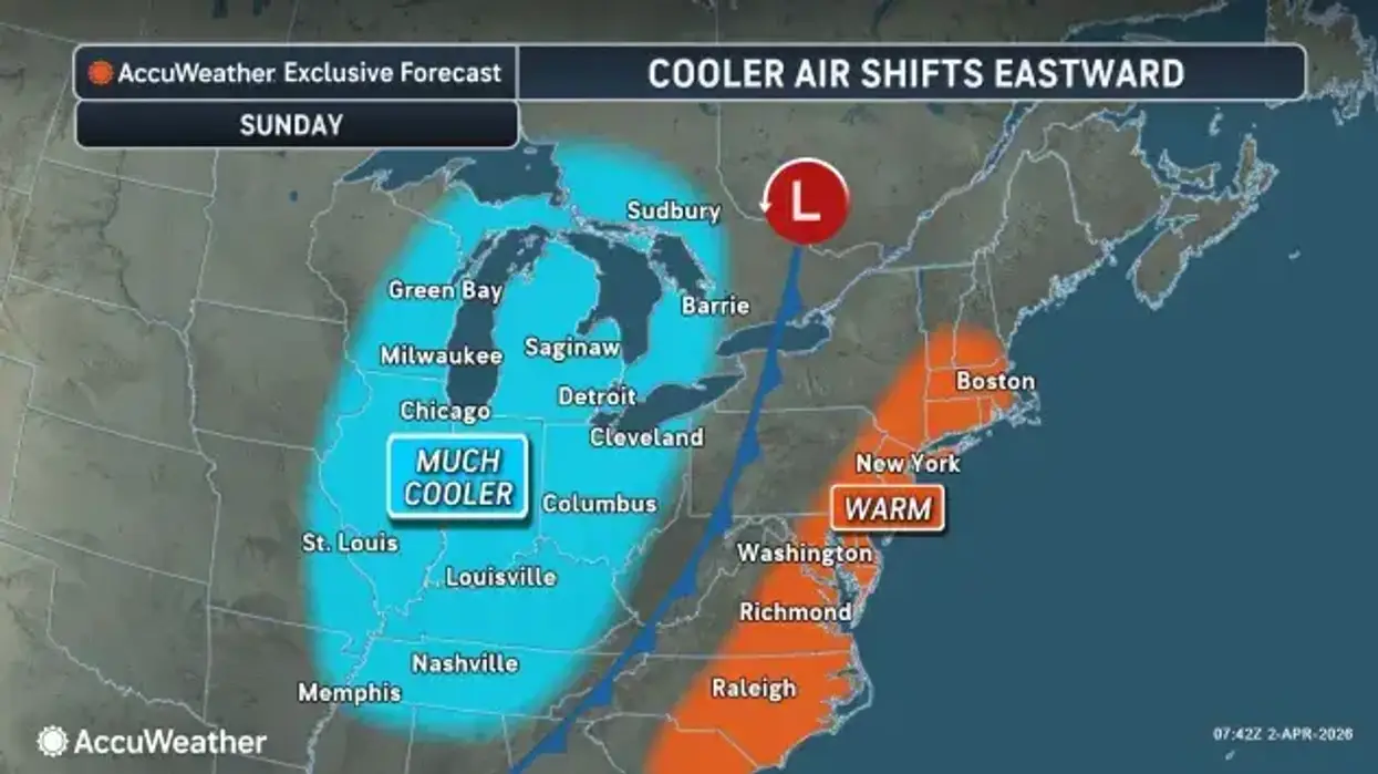

The weather change for Easter in the Buffalo-Niagara and Western New York region is indeed alarming, as a frontal passage late Saturday drew in a mass of much colder air and temperatures in the 70's have been replaces with those in the 40's.
And it gets even worse for Dyngus Day Monday, when snow is in the forecast.
Temperatures will hover around 40 degrees for Easter Sunday, with a few passing showers and gusty winds as well. Southwest winds gusting 35 to 45 mph will peak Sunday afternoon, then slowly diminish to under 25 mph by Monday morning.
Things only get worse as Dyngus Day approaches, National Weather Service forecasters say.
Accumulating snow starting Sunday night is a possibility, however Monday night into Tuesday morning there will be more probability the snow will stick.
Any snow accumulation through Monday will be minor and mainly reserved for the higher terrain. By Monday night, with temperatures below freezing across the region, falling snow will be able to accumulate, with up to 4 inches on the hill tops of the southern tier through Tuesday morning.
Accumulating snow will end by late Tuesday morning.
Highs Tuesday are expected to be some 15 to 20 degrees below normal.
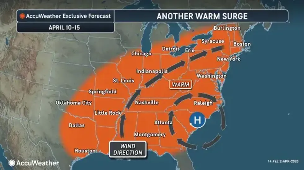
Some long range good news can be found with more seasonable temps by midweek and forecasters are eyeing a warming trend for the second week of April.
 AccuWeather.com
