Buffalo, N.Y. (WBEN) - Buffalo-Niagara and the Western New York region escaped the ice-jam flooding issues that could have occurred with the warmer temperatures and runoff that raised the overall levels on area waterways midweek.
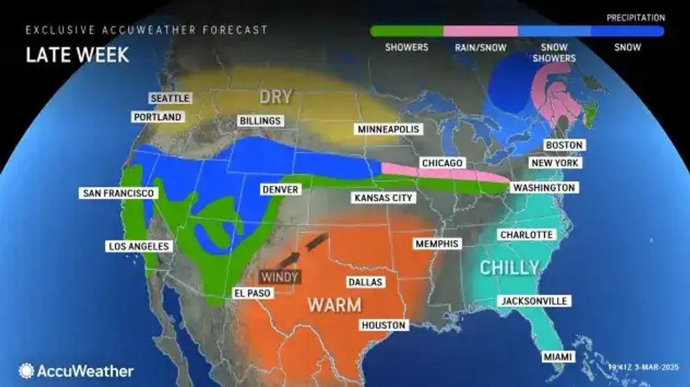
Colder air will charge back across the region in the wake of an exiting storm today, National Weather Service forecasters say, with below average temperatures lasting through the weekend. Some limited lake enhanced snow will produce relatively minor accumulations east and southeast of the lakes through Friday.
"We have been very fortunate, we have not had any major issues," NWS meteorologist Kirk Apffel tells WBEN. "The risk has passed, as most of the Buffalo area creeks have crested already."
The threat of ice jam flooding will most likely not be an issue for the remainder of the season, Apffel notes, with spring just around the corner. "This late in the season it would be pretty unusual for a thick ice to develop."
COLDER AIR
The March rollercoaster weather ride continues across the region as we again return to winter-like conditions for the weekend. "It's going to be just a cold and windy day, we're going to have wind gusts of 40 to 50 mph during the day," Apffel cautions. Temperatures will cool to the mid to upper 20's by the late afternoon Thursday and colder temps will be in the forecast through the weekend, with highs in the upper 20's and lower 30's.
With the colder air, some scattered snow showers are likely. "Any snow accumulation will be minor, less than an inch," Apffel assures us.
WINDY
The windy conditions will be noticable across the metro Buffalo area Thursday and will begin to subside somewhat later in the day. The wind, however, will linger across some portions of WNY. "For areas across the interior, it's going to actually get stronger during the day and the strongest will be this afternoon and evening," Apffel says. A Wind Advisory is posted for Cattaraugus and Allegany counties.
 AccuWeather.com
WIND ADVISORY IN EFFECT FROM 11 AM THIS MORNING TO 4 AM EST FRIDAY
* WHAT...West winds 20 to 30 mph with gusts up to 50 mph at times.
* WHERE...Wayne, Northern Cayuga, Oswego, Wyoming, Livingston, Ontario, Cattaraugus, and Allegany Counties.
* WHEN...From 11 AM this morning to 4 AM EST Friday.
* IMPACTS...Gusty winds will blow around unsecured objects. Tree limbs could be blown down and a few power outages may result.
PRECAUTIONARY/PREPAREDNESS ACTIONS...
Use extra caution when driving, especially if operating a high profile vehicle. Secure outdoor objects.