


CLICK HERE FOR THE LATEST LIST OF CLOSINGS AND DELAYS
A variety of watches and warnings are posted from the National Weather Service:
The Blizzard Warning remains in effect for areas along and south of a line from Morris, to Mankato, to Owatonna from through midnight Thursday.
The Winter Storm Warning remains in effect for areas along and east of a line from Pepin, to Menomonie, to Rice Lake through midnight Thursday.
A Winter Weather Advisory remains in effect for the remainder of central and southern Minnesota and portions of west central Wisconsin through midnight Thursday.
A Wind Chill Warning will become effective Thursday night through Friday morning for locations along and west of a line from Redwood Falls, to Litchfield, to Little Falls.
To the east of the warning, a Wind Chill Advisory will become effective across the rest of central and southern Minnesota, and counties along the Minnesota border in western Wisconsin through Friday morning.
Wind chill values will range from 35 below to 40 below zero in the warning and 30 below to 35 below zero in the advisory.
----------------------------------------------------
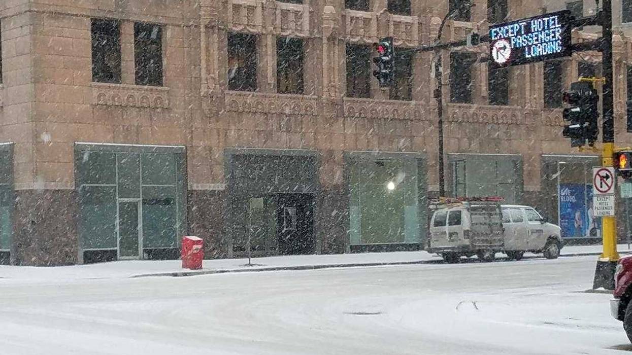
Many in and around the Twin Cities woke up to a coating of ice, thanks to freezing rain which eventually turned to all snow around sunrise. "The snow will continue right into the rush hour this evening," WCCO Radio Meterologist Mike Lynch said, "although it may not be as heavy as we go through the afternoon." Lynch is predicting three to five inches before the snowfall ends, but then the winds gusting up to 30 miles an hour will cause problems with blowing and drifting snow.
"Visibility will be a factor all day long, especially later this afternoon and tonight, and get ready for another bitterly cold night."
A wind chill advisory will begin at midnight with temperatures of ten below and wind chill temperatures down to -30 into Friday morning.
Wintry weather continues - Snow and blowing snow today, then cold and windy tonight. Looking ahead, we don't see a significant warm up for at least a week or two #mnwx #wiwx pic.twitter.com/lQLFoCWH3w
— NWS Twin Cities (@NWSTwinCities) February 7, 2019
In addition to the snowfall, colder temperatures and stronger winds will be moving in today and tonight. Here's a look at forecast wind chills from noon today through 6 AM Friday. #mnwx #wiwx pic.twitter.com/tWWwvaRWrz
— NWS Twin Cities (@NWSTwinCities) February 7, 2019


