


Heavy snow from the latest super-sized clipper will finally taper off Monday morning, but not before a fairly broad swath of 4-8" of snow falls across central and southern Minnesota. It still appears the heaviest amounts will fall well south/east of the Twin Cities, where some 8-10" amounts can't be ruled out by midday Monday.
A few things to consider:
1). With temperatures in single digits it becomes much more difficult to melt ice, in fact traffic itself can turn fresh snow into ice. Friction from car tires can temporarily melt snow into water, which immediately refreezes into ice. This "wheel track glazing" is much more pronounced and common when temperatures are this cold - in spite of best intentions MnDOT may not be able to keep freeways ice-free.
2). Monday morning's commute will be very slow - the drive home this afternoon nominally better. Commute times may be 2 to 3 times normal.
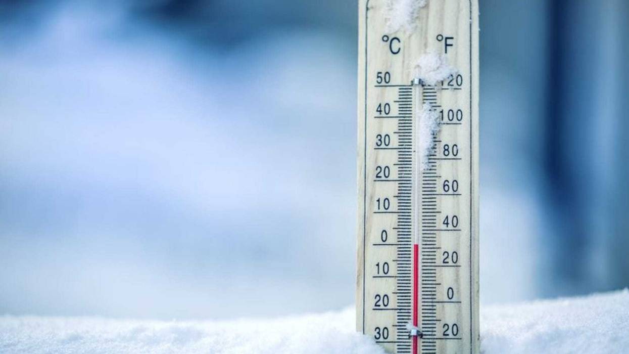
The core of the cold wave comes Tuesday into Thursday, when temperatures hover well below zero, even in the metro. Wind chills dip down to -40F or colder each morning around the breakfast hour. Under these conditions frostbite is possible on exposed skin within a few minutes. Will schools be cancelled due to cold? Above my paygrade, but if I had to guess I would have to predict that many schools might want to err on the side of safety and caution when it comes to kids at the bus stop.
Even by Minnesota standards, the midweek cold wave is going to be severe and potentially life-threatening.
- Paul Douglas


