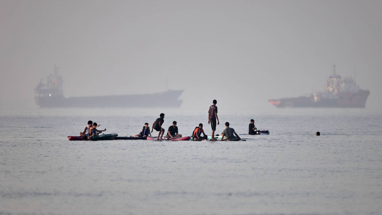
A heat advisory is in effect all afternoon Monday in the Twin Cities metro, with the actual temperature soaring into the mid-90's.
Couple that with high humidity and it'll feel hotter than that, with heat indicies maybe approaching triple digits.
"We are expecting a somewhat prolonged period of higher heat indices," said National Weather Service forecaster Melissa Dye. "We're more concerned about the possibility for heat-related illnesses, especially with all the activities we've got going on across the metro with Independence Day."
It's going to be very warm, but still a few degrees off for the record high for July third, which is an even 100 degrees.
There is relief on the way, but that relief could adversely affect your Fourth of July plans.
"We'll have a cold front that will be pushing through, and that will actually be the focus for some strong to possibly severe storms on Tuesday," Dye said. "Temperatures again will be in the low 90's, and then we should cool off considerably Wednesday through the end of the work week."
Because of Monday's heat advisory, it's recommended to cut back on outdoor activities to prevent heat-related illness.