

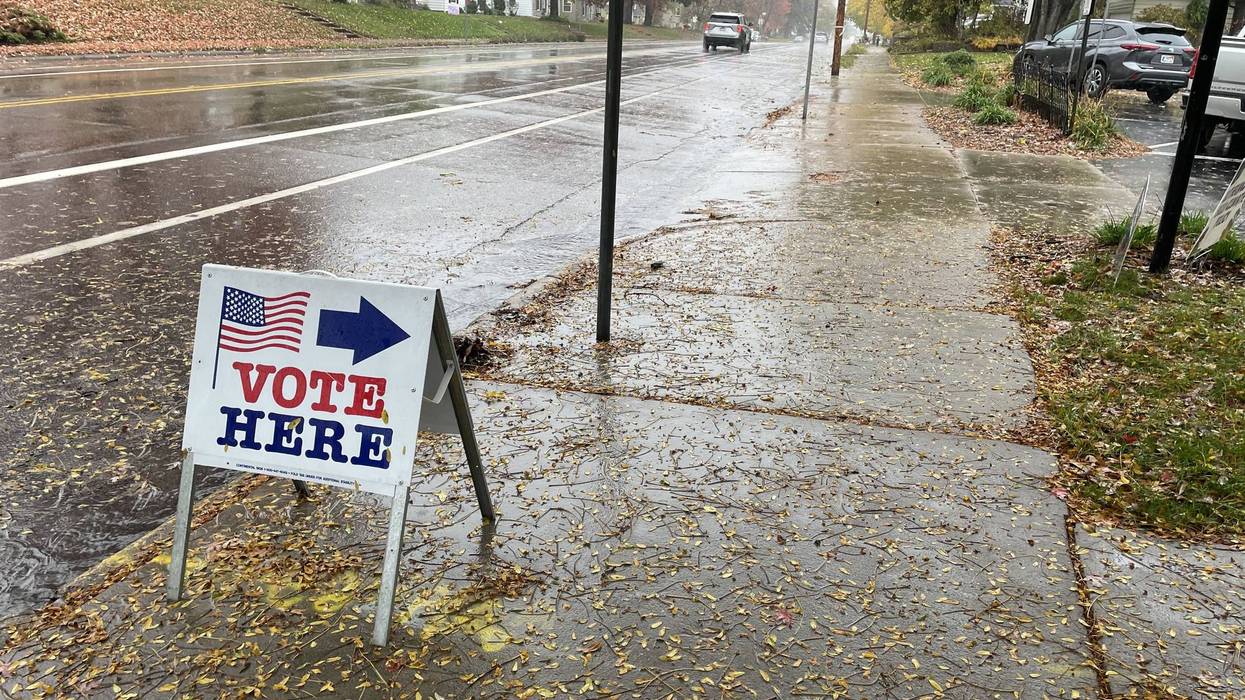
It's a very rainy Election Day across most of Minnesota. While it might put a damper on standing in line at busy polling locations, that is still much-needed rainfall.
With umbrellas, raincoats, and boots, Minneapolis voters are braving the pouring rain this morning at Diamond Lake Lutheran Church in South Minneapolis where WCCO's Mark Freie was. A line formed ahead of the polls opening at 7:00 a.m.
The rain Monday, Tuesday, and even into Wednesday could eclipse the average Minnesota sees for the entire month of November. That comes with a large portion of the state still dealing with some drought conditions according to State Climatologist Pete Boulay.
"Normal rainfall for the entire month of November is about three quarter of an inch in the western part of the state to about 2 inches in the northeast," says Boulay. "Twin Cities is about 1.61, so a lot of places will probably get their November's worth of rainfall over the next couple of days. Our deficit in the Twin Cities so far this year, we're 7 inches short of normal, so we'll take whatever we can get right now."
WCCO-TV Chief Meteorologist Chris Shaffer says it'll stay wet until Thursday.
"We'll have these on and off rain showers tonight, this will be the case again tomorrow as we begin to cool with a high around 55," Shaffer said on the WCCO Morning News. "Finally, Thursday, showers are possible early. This is mainly for the Twin Cities, far eastern Minnesota and western Wisconsin."
Shaffer says expect highs in the 40s on Thursday and Friday, but that's just "normal" for this time of year.
The warmer temperatures will also have an impact on the metro's first freeze. We're now into November and past the typical point for the first recorded freeze - below 32 degrees for an extended period - at MSP Airport.
"Now, the outlook so far doesn't have 32 degrees on the horizon for the Twin Cities out for a week," Boulay adds. "So we'll have to keep an eye on that and see how we're doing in the next couple of weeks if we get close to that record.
That record is November 18 set in 2016.
Boulay does say that a late freeze does have some consequences.
"It does affect fall color a bit, so we have slightly later fall color with some trees that need that first 32 in the heart of the metro," he adds. 'But we've been really warm, you know. October was a very warm month, top 10 warmest for the state for average temperatures. Coming into this November, it's going to be a real shock to the system when we have normal temperatures return."
When that will be is definitely "to-be-determined" with a historically strong El Nino in the Pacific disrupting normal weather patterns. Most El Nino winters in Minnesota trend significantly warmer than normal.
Boulay says 90% of the time the first frost date of the year in the Twin Cities occurs by October 30.
Twin Cities still waiting for the first "freeze" of the year with a chance to set a record-late date at MSP Airport
Twin Cities still waiting for the first "freeze" of the year with a chance to set a record-late date at MSP Airport