A series of pop-up thunderstorms across the Twin Cities on Tuesday night caught a lot of people by surprise, led to some much-needed rain.... and provided some incredibly dramatic shelf clouds as storms rumbled across the sky.
The rolling clouds were shared all over social media Tuesday night. Here are a few of our favorites.
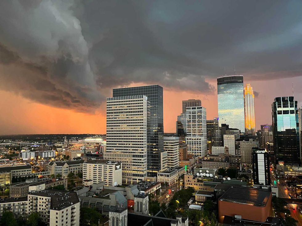 Shelf Cloud over Minneapolis near Loring Park from WCCO Morning News Editor Steve Simpson.(Audacy / Steve Simpson)
Great time lapse from Tuesday evening's storms. Wow. @RenaissanceManQ https://t.co/lzYpnvWe5p
— Paul Douglas (@pdouglasweather) July 13, 2022
@MPRweather @svensundgaard @pdouglasweather Mendota Heights, MN pic.twitter.com/0tscyXPREh
— Sean F (@RenaissanceManQ) July 13, 2022
Woah!! So cool!!#mnwx @RileyOConnorwx pic.twitter.com/6fEOR2myYm
— Brent Teclaw (@BrentTeclaw) July 13, 2022
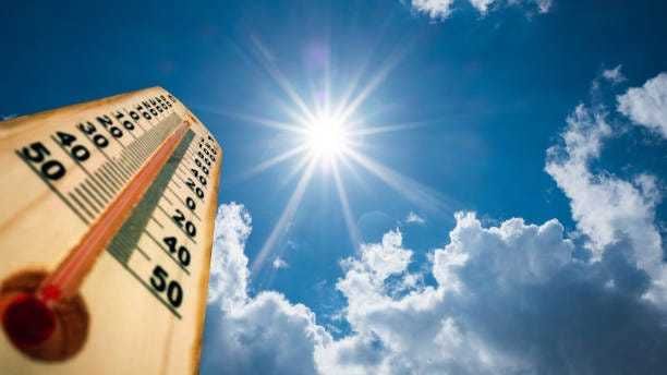
After some early fog, Wednesday will be a spectacular day according to WCCO Chief Meteorologist Paul Douglas. Expect highs in the lower 80s with low humidity. There's another chance of storms again on Thursday with increasing heat heading into the weekend.