Enjoy this "warmth" (yes it's all relative) while you can. Thanks to last year's outrageously warm winter, you're about to experience the coldest weather in Minnesota in two years. We'll be enjoying temps in the 30s Thursday and Friday. Soak it up because a little "taste of Siberia" is on the way.
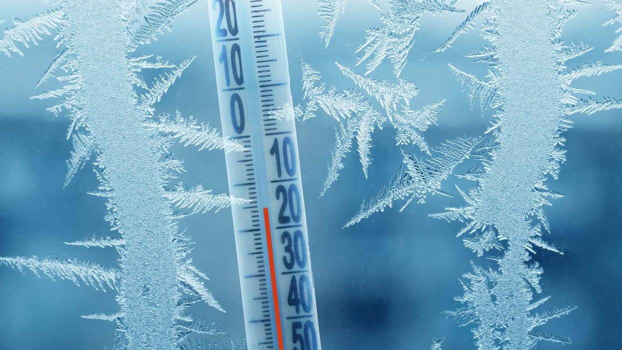
Much colder air arrives this weekend into early next week and this is the type of cold to be wary of, with gusty winds and wind chills that will fall to -25 to -40 at times.
Much of Minnesota will spend 60-70 consecutive hours with temperatures below zero according to WCCO-TV Chief Meteorologist Chris Shaffer.
"Our temperatures are really going to plummet, but this time they don't recover," Shaffer told Vineeta Sawkar on the WCCO Morning News. "A high of 10 on Saturday, that's well below the average of 23. And then dig this. Sunday and Monday, I don't think we're going to warm above zero. It's pretty common at least once a year, once a winter, we have one of those days where the high is like 2 below or something. But to get back-to-back days, I think we've only done it like 12 times in the last 30 years. It gets more rare."
Sunday and Monday are even worse and the wind is not going to help.
"I think our high is 4 below, and I think our high is 5 below Monday," says Shaffer. "Throw in some wind, overnight lows in the double digits below zero, it's going to feel more like 30 below around the Twin Cities and likely 40 below up in northern Minnesota. So we'll have those cold weather advisories, maybe a cold weather warning letting you know you could get frostbite in five, ten minutes. Something we haven't really felt this year."
Shaffer adds there will be a slow crawl out of the deep freeze.
"Looking a little deeper downfield, I think maybe we're in the single digits above zero Tuesday and maybe back to average Wednesday," he says.
And you know what's missing from this forecast? The white stuff. There's no snow.
"Yesterday was our little kiss of snow," says Shaffer. "Yesterday. That's it. I don't see it and some of the models, I don't see it really for the next couple of weeks. Nothing significant, maybe a few flurries here and there. So we definitely need a pattern change for that to occur."
If you like your winters on the warmer side, hang in there. Long range models predict another thaw coming up the last week of January.
Chris Shaffer's Forecast
TODAY: Mostly cloudy. High: 35. NW wind 8-12 mph.
TONIGHT: Mostly cloudy. Low: 29. S wind 5-10 mph.
TOMORROW: Mostly cloudy. High: 38. NW wind 10-15 mph.
WEEKEND: Temps tumble into Saturday. We stay below zero Sunday and Monday with highs around of -4 and dangerous wind chills double digits below zero.