SOUTHFIELD (WWJ) -- With more storms and a lot of heavy rain in the forecast, a Flood Watch has been issued for a portion of Southeast Michigan.
This includes Macomb, Oakland, Wayne, Washtenaw, Monroe and Livingston counties. The watch goes into effect at 4 p.m. Wednesday,, continuing until 4 a.m. on Thursday.
The National Weather Service said widespread rainfall of one to two inches is expected in Metro Detroit Wednesday night, and some areas could get three inches or more.
NWS warns that much of this rainfall will happen within a three to four-hour period, which may lead to flash flooding.
A Flood Watch is in effect for southern Lower MI through tonight. Heavy showers and thunderstorms will bring widespread rainfall totals of 1 to 2 inches with potential for localized swaths of 3 inches or more. The highest flash flooding threat will be in urban areas. #miwx pic.twitter.com/ndt7bNnCvO
— NWS Detroit (@NWSDetroit) June 17, 2026
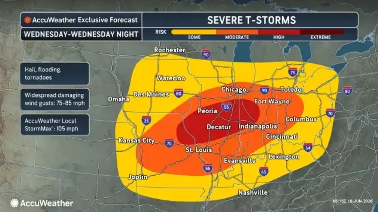
AccuWeather says some sunshine in the morning on Wednesday will give way to more clouds, before the rain rolls in.
Much of Metro Detroit can expect showers and thunderstorms during the afternoon and into the night.
AccuWeather Meteorologist Joe Lundberg said any of these storms could get heavy — looking as what we've seen lately.
Thunderstorms will develop after 6pm this evening and scattered storms may be strong to severe. Flash flooding, damaging wind, and tornadoes are the primary threats. Have multiple ways to receive warnings tonight and stay weather aware! #miwx pic.twitter.com/zy0ZsI1z9U
— NWS Detroit (@NWSDetroit) June 17, 2026
"They're nasty storms," Lundberg said, speaking live on WWJ Newsradio 950 early Wednesday. "We've seen some wind gusts upwards of 80 miles per hour with those thunderstorms, so, they mean business."
The NWS said along with the flash flooding, damaging wind, and tornadoes are the primary threats with this round of storms.
Although Lundberg said the worst of it is most likely to hit south of the Metro Detroit area.
Be prepared for flooding: What to do
The The Detroit Water and Sewerage Department (DWSD) and the Great Lakes Water Authority (GLWA) said they are monitoring the weather. They say local and regional sewer systems "are currently functioning as designed," and that DWSD crews are ready to respond to potential flooding.
During heavy rain, they urge all customers to reduce water usage during the rain event to provide more capacity in the sewer system, and take safety precautions by not driving or walking into standing water.
Please follow these preparation steps:
During heavy rain, reduce water usage such as avoid using a dishwasher and/or laundry washer to reduce flow into the combined sewer system, helping relieve capacity to manage the rain event.
Clean off debris on your street leading up to and on the catch basins to help reduce street flooding, if you can safely do so or ask a neighbor for help.
DWSD crews continue to clean the City sewer system through preventive maintenance, and crews will be prepared to respond to potential flooding. More than 600 miles of public sewer and more than 8,000 catch basins were cleaned in 2025.Avoid flooded streets and downed power lines.
Move valuables up off floors in your basement especially if you live in a low-lying area.
If your basement floods, do not enter if the water is above electrical outlets and/or the fuse box.
If you have a backwater valve installed at your house, in order for it to work properly during a rainstorm and help stop basement backups, occupants should avoid using toilets, drains, dishwasher and laundry washer, and avoid taking baths or showers during rain.
For a helpful resource, click here to download the Basement Backup & Flooding Handbook.
Report flooded streets and basement backups using the Improve Detroit app or call 313-267-8000.
What does the rest of the week look like?
Looking ahead: Thursday will be breezy and cooler, with a high of around 72 degrees, with a shower or two possible.
Friday has the best chance for some more sunshine, although an afternoon shower is again possible, with a high of 75.The weekend will be a mixed, with some sunshine with a thundershower in the afternoon on Saturday, and more clouds with occasional rain and a thunderstorm expected on Sunday. Highs both days will hang out in the 70s.
Get daily forecast details from AccuWeather HERE.
We'll have the latest forecast updates throughout on WWJ Newsradio: That's AM 950 on you radio. You can also listen anytime HERE or in the free Audacy or TuneIn app.
There's a Flood Watch for Metro Detroit through early Thursday
There's a Flood Watch for Metro Detroit through early Thursday