Polar vortex ushers in life-threatening conditions for millions of Americans this weekend and into next week
Much of the U.S. will feel the chill of an Arctic front moving across the nation this weekend and the National Weather Service said it could bring “hazardous cold” conditions.
CBS News also reported this week that the polar vortex – a large area of low pressure and cold air surrounding the Earth’s poles – will begin to dip into the northern U.S. While the polar vortex normally circles the Arctic, contained by a strong jet stream, it can become unstable when that jet stream weakens. When this happens, the ring of frigid air spills further south.
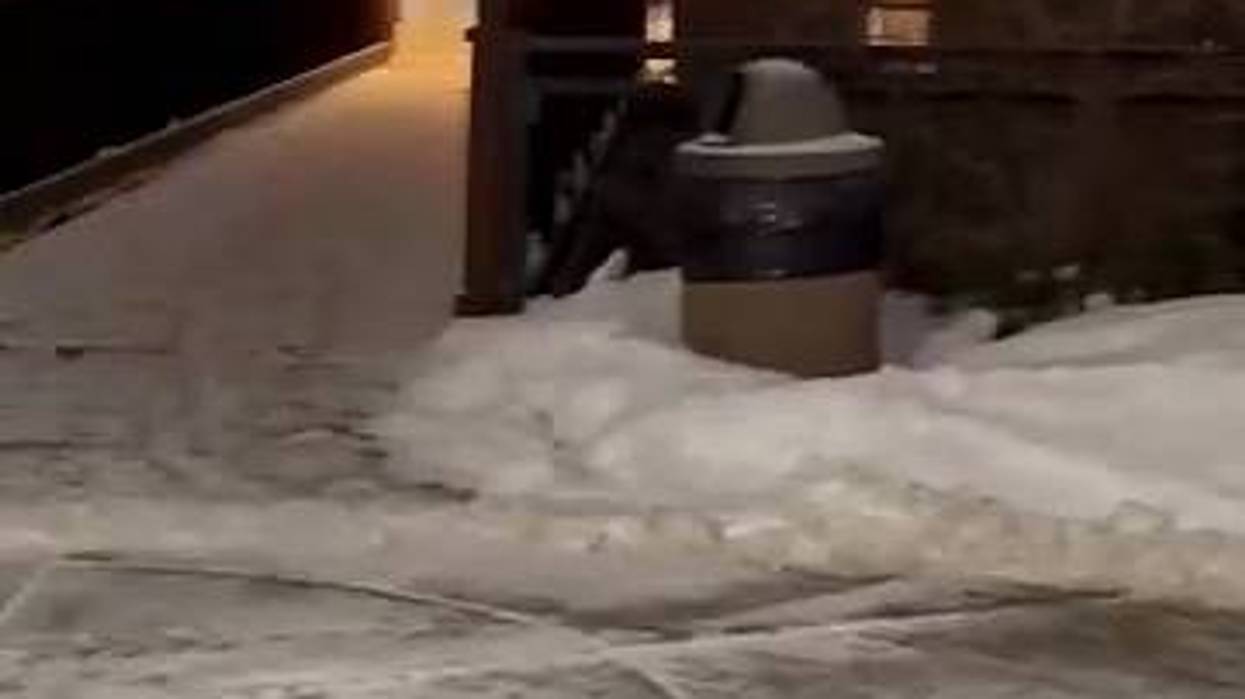
The phenomenon has already affected the U.S. in recent weeks. According to the National Oceanic and Atmospheric Administration, it brought below-freezing temperatures to much of the country during the week of Jan. 6 and fueled a snowy winter storm.
“This sweeping cold front is ushering in a frigid Arctic airmass that will be one of the main national weather stories this weekend and into the next week,” said the NWS.
Impacts of the front are expected this weekend in areas used to cold winters and areas that are not.
“Temperatures will plunge by 30-40 degrees this weekend behind the front,” said the NWS in its Friday weather predictions. “Forecast highs this weekend will have many residents in the northern Plains in the negative single digits and areas in the Midwest in the single digits.”
It said that minimum wind chills could be in the -30 to -55 range. At these low temperatures, there is an increased risk for hypothermia and frostbite and the NWS advises that safety precautions for the cold be taken.
Snow with some moderate accumulations is expected through the Northern/Central Rockies and in nearby High Plains areas. The Northeast and Mid-Atlantic are also likely to feel the impact of winter storms Sunday and Monday. In the Southern Plains/northern Texas, highs will be in the 30s and 40s, with lows in the 20s and teens and wind chills below zero
“Conditions will be at or above average ahead of the front along the East Coast and the Southeast through Saturday, with highs the next couple of days in the 30s and 40s for the Northeast, the 40s and 50s from the Ohio Valley east through the Carolinas, and the 60s and low 70s for the Southeast,” the NWS said.
Minor to moderate snow is also expected from the Appalachians though Maine. In the metropolitan corridor from Washington D.C to Boston, 3 to 6 six inches of snowfall is possible, while areas west of the 95 corridor could see higher amounts with expectations of 5 to 10 inches possible and locally higher max amounts possible.
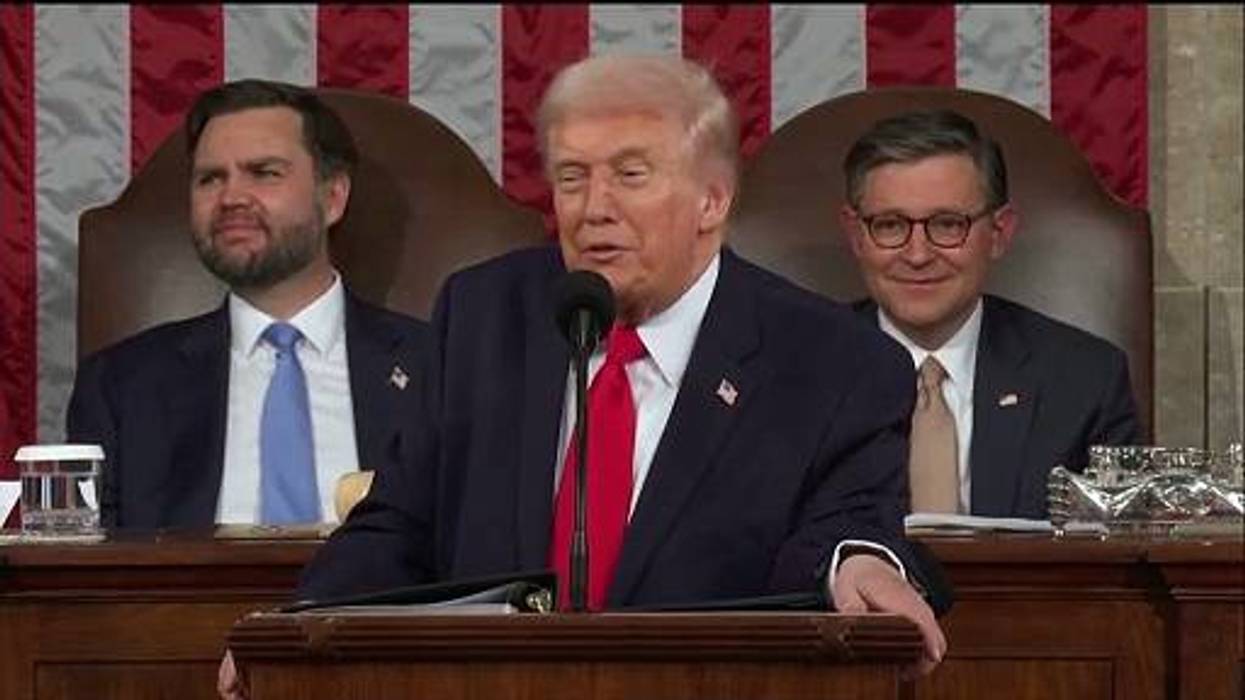
In the Washington D.C.-area, President-elect Donald Trump’s inauguration Monday is now expected to be held inside due to cold temperatures.
“After the snow, temperatures will be cold as highs are 15-25 degrees below normal for this time of the year,” the NWS said. “Outside of the short-range period, early next week there is increasing confidence for winter weather impacts for the South.”
Advice for staying safe amid winter weather conditions is available through the NWS here.


