Buffalo, N.Y. (WBEN) - The flooding threat that loomed through Friday morning after a soaking overnight rainfall has receded with the end of the rain and clearing of ice jams along area waterways.
Friday morning was a rough start. Up to 1.5 inches of rain fell, mostly north of Buffalo, during the overnight period. It led to a lot of street flooding as well as basement flooding according to the National Weather Service.
The ice jams are of greatest concern, however most area creeks and streams have been flowing with only minimal jamming occurring. "We do have some ice jams on area creeks and rivers," meteorologist Aaron Reynolds at the National Weather Service tells WBEN.
Creeks and streams are remaining steady, Reynolds tells us. "There are some ice jams, especially on the Buffalo and Cazenovia creeks." Some minor flooding is possible, especially in West Seneca where those creeks are located and where the heaviest snow pack is melting away quickly.
Snowmelt and runoff will increase Friday morning, bringing elevated flows to area creeks and rivers. The ice is not particularly thick, which will likely limit the potential for ice jam flooding.

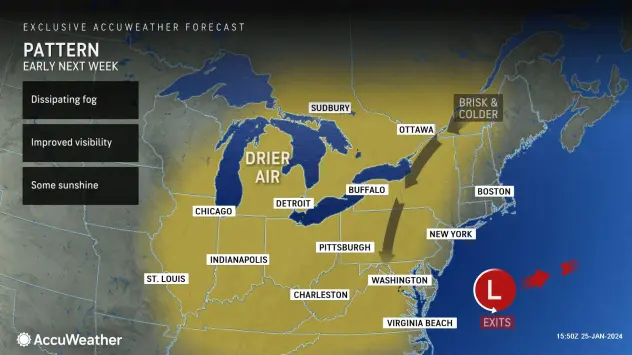
As the weekend unfolds, temperatures will drop to more seasonable readings, ending the rain and slowing the melt and runoff. "WE do have some potential for some snow over the weekend," Reynolds says. And winter returns next week, he adds. "We're going to have near normal temperatures."