


NEW YORK (1010 WINS) — A messy winter storm will pass through the New York City area on Wednesday, two days after the region got a hint of spring with above-average temperatures.
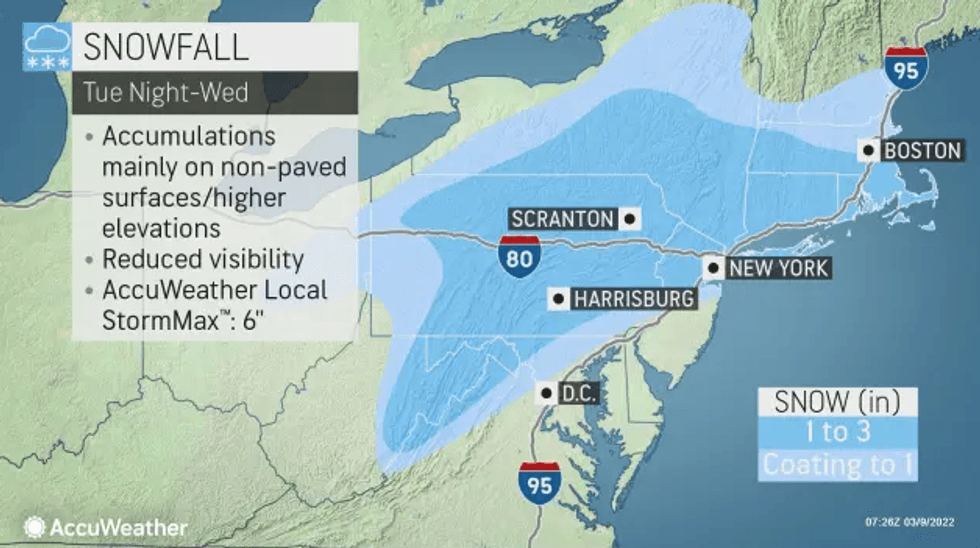
The wintry weather, which was already moving in by daybreak, will bring a wintry mix of snow, sleet and rain to the area, with forecasters predicting a coating to 1-2 inches of accumulation in the city and Long Island, according to AccuWeather.
The Jersey Shore will likely see closer to a coating or an inch, while suburbs to the northwest may see up to 3-4 inches.
 AccuWeather
The steadiest snow arrives in the city later in the morning—possibly as late as 8 a.m. to 10 a.m.—creating hazardous travel, slushy and slippery roadways, and ponding and flooding into the afternoon.
Temps will stay in the mid-30s during the snowfall before it becomes slushy and then wet in the city and coastal areas. The northwest suburbs will see slushier and slippery conditions for a longer period of time.
 AccuWeather
The city Department of Sanitation issued a winter weather advisory alert and deployed salt spreaders.
Temps will drop to 33 degrees in the city and the upper 20s in the suburbs overnight Wednesday.
After the storm passes, temps are expected to warm up again on Thursday, when the high will be 49 under partly sunny skies.
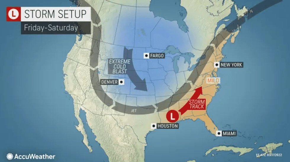
It's even milder Friday, with a high of 52, before a rainy and windy Saturday and a blustery and cold Sunday.
The storm will add little to New York City's seasonal snowfall tally which currently stands at 17.5 inches of snow, well behind the average to date of 26.8 inches.