


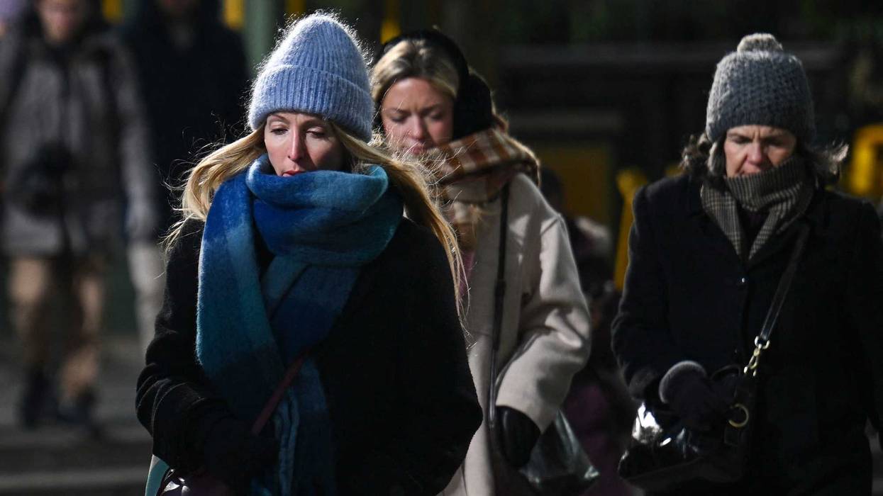
NEW YORK (1010 WINS) – This week's frigid weather will be followed by a brief reprieve of warmer temps this weekend—but even more extreme cold is coming next week after a winter storm Sunday, according to AccuWeather.
The polar vortex will bring brutal cold from the Midwest to the East Coast in the days ahead. While highs are set to top 40 degrees in NYC on Friday and Saturday, they'll drop to 26 by Monday, and to the teens by Tuesday.
 AccuWeather
The polar vortex is a low-pressure area of swirling cold air at the North Pole that expands in winter. If the vortex is disturbed by other systems, parts of it can break away and drift south, causing cold spells.
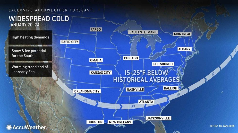
According to the National Weather Service, the Arctic blast "will deliver the coldest air-mass of the season to-date for much of the Lower 48."
It hasn't exactly been balmy this week either—temps have barely topped the freezing mark most of the workweek.
The high will only be 32 on Thursday. There's also a chance of flurries or snow showers in the late afternoon or evening from a clipper storm that's passing mostly to the north.
 AccuWeather
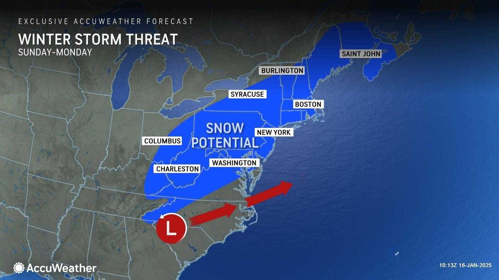
The real chance of snow is from a storm later this weekend. While it'll be dry Friday and Saturday, the forecast shows rain and snow in the Tri-State area on Sunday afternoon and evening. The snow has the potential to accumulate late Sunday as temps spiral downwards—and reach the teens overnight.
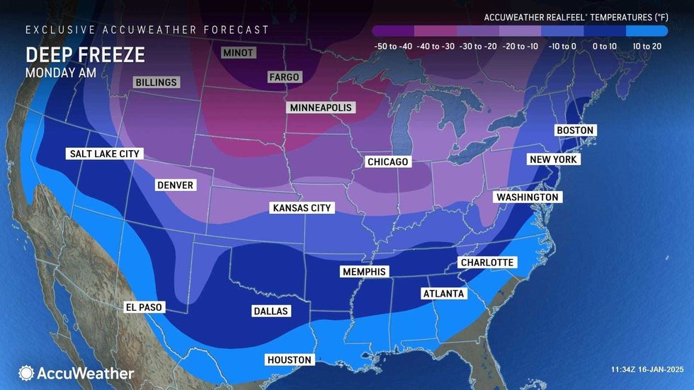
The brutal cold will then stick around much of next week. Tuesday is expected to be the coldest day, with a high of 18 and lows around 8.
 AccuWeather


