


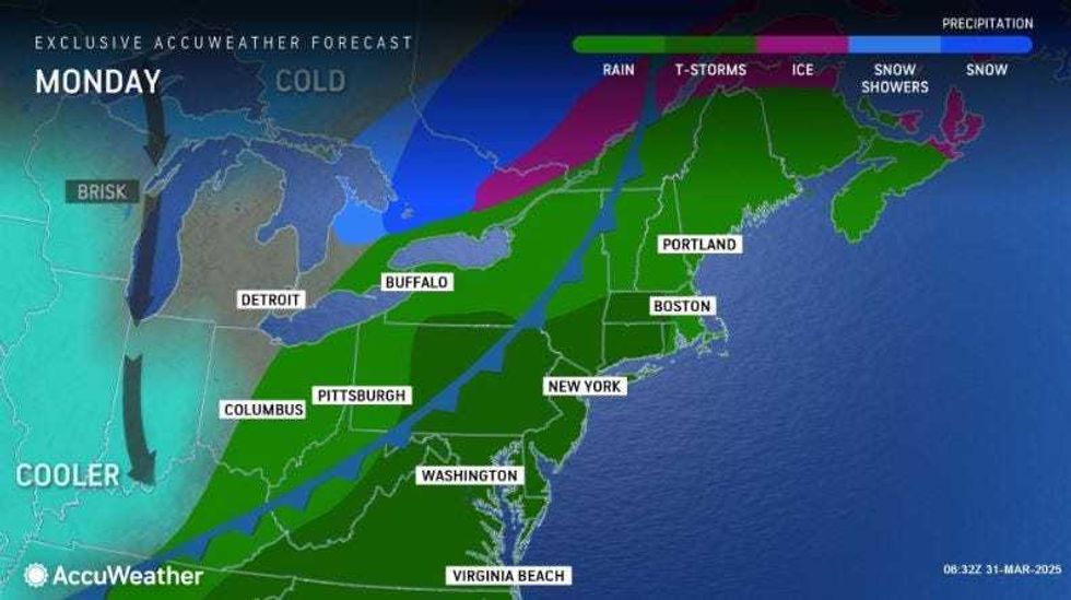
NEW YORK (1010 WINS) — A thunderstorm Monday night threatens NYC with "flooding downpours" and ushers in days of rising and falling temperatures with more spring showers to come later in the week, AccuWeather forecasts.
A couple of showers and heavy thunderstorms late Monday and into the night will be "capable of producing flooding downpours, hail and damaging winds," AccuWeather said. Wind gusts could exceed 60 miles per hour, and quarter-sized hail is possible.
According to NYC Emergency Management, the greatest risk of severe weather is between 6 p.m. and midnight, but activity could occur through 5 a.m.
 AccuWeather
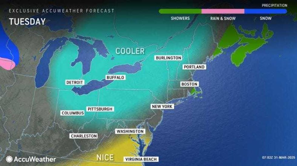
It will be clear and breezy late in the night, with a low of 45, AccuWeather said.
Tuesday will be partly to mostly sunny, blustery and cooler, with a high of 56. The night will remain cloudy and colder still, with a nighttime low of 36.
 AccuWeather
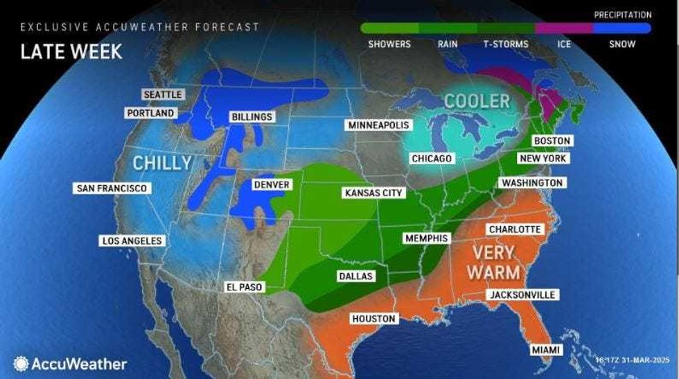
Temperatures will continue to drop on Wednesday, as the chill and clouds remain with a high of 48.
A sudden jump will come on Thursday, AccuWeather forecasts, with a high of 72. But with the warmer weather comes more precipitation, and the cloudy, breezy day will see some afternoon showers and thunderstorms.
 AccuWeather
These will continue into Friday, with the high in the mid-60s. Temperatures will drop again come the weekend, with highs in the low 50s and a lingering possibility of rain.
The National Weather Service noted the brief warmup, forecasting that NYC's high temperatures on Thursday and Friday will be beat by highs on west Long Island and in Connecticut, which will hit the low-70s.


