NEW YORK (1010 WINS/WCBS 880) -- A severe thunderstorm watch was issued at 5 p.m. for parts of New York, New Jersey and Connecticut until 10 p.m. as the weather threatens the area Tuesday with damaging winds, heavy rain, hail and even an isolated tornado amid a mini heatwave.
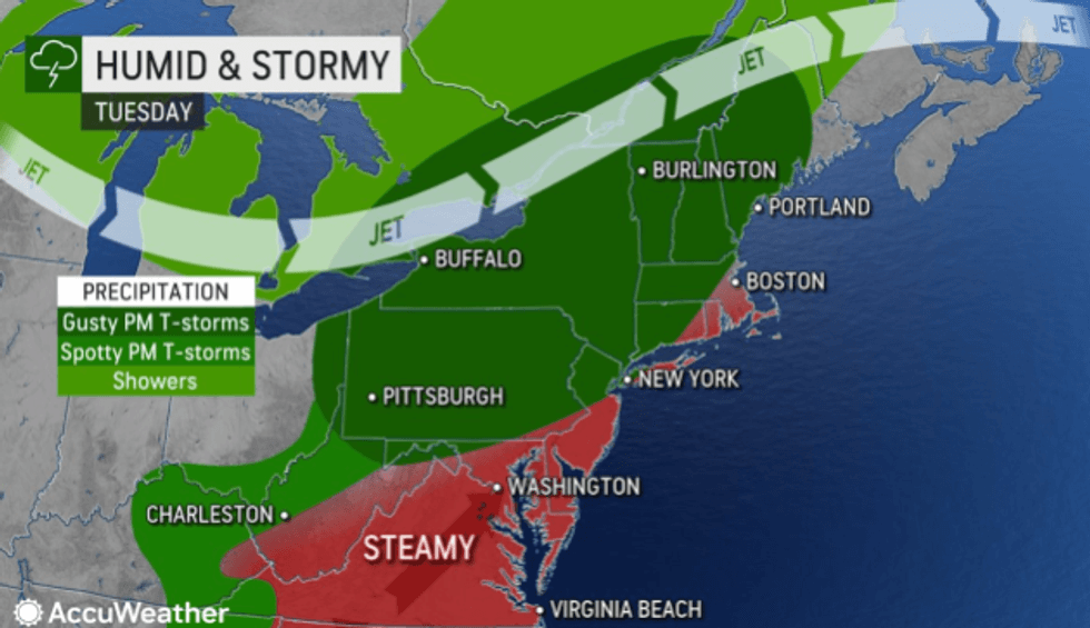 The humidity rises on a sultry and stormy Tuesday.AccuWeather
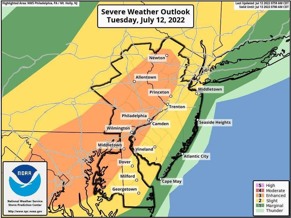 The National Weather Service said the threat of severe storms was "increasing" Tuesday, with the highest risk along the I-95 corridor in New Jersey.National Weather Service
The threat of severe storms was "increasing" Tuesday, with the highest risk along the I-95 corridor in New Jersey, according to the National Weather Service.
The gusty storms will most likely produce downpours, lightning and damaging winds, but hail and a stray tornado "can't be ruled out," the NWS said.
The stormy weather will move into northern New Jersey and the Hudson Valley after 5 p.m. and arrive in the city around 7 p.m., according to AccuWeather.
It's otherwise hot Tuesday with a high of 91 degrees and RealFeel temps around 95.
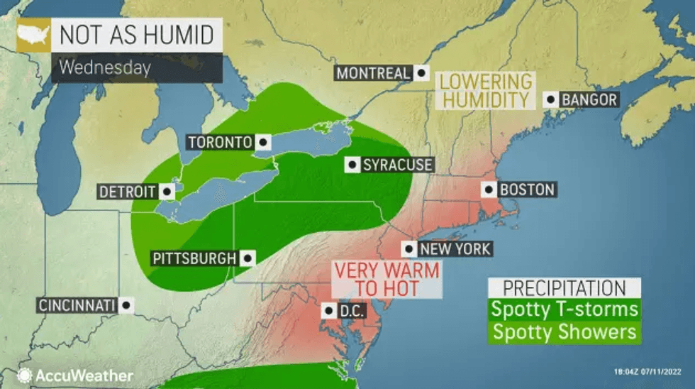 Tuesday's heat will continue Wednesday, with highs in the low 90s and RealFeels even hotter.AccuWeather
The storms will move out Tuesday night, but the heat sticks around Wednesday, when the high will be 90.
It's otherwise partly sunny and a bit less humid on Wednesday.
Thursday is warm with a mix of clouds and sunshine. There may be a shower or even a storm in the afternoon. The high will be 87.
Friday looks like it will be the nicest day of the week. It's forecast to be partly sunny with a high of 85—pleasant conditions that will carry over into Saturday.
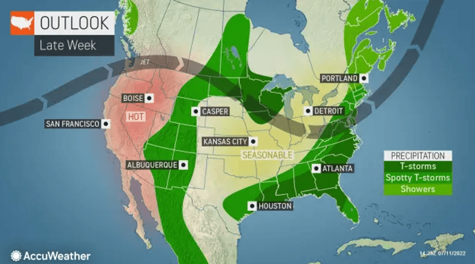 The heat should move out later in the week.AccuWeather