NEW YORK (1010 WINS/WCBS 880) – New York City sweated through another scorcher on Thursday—and while late-week storms may bring some relief, temps are expected to return to the 90s next week and bring the city's third heat wave since June.
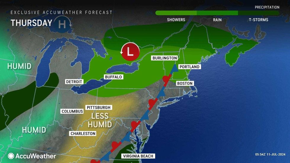
The arrival of storms and a dip in humidity on Thursday and Friday should help ease the hot, soupy stretch that has gripped the five boroughs since July 4.
But highs were still near 90 degrees in Midtown on Thursday—where they've been much of the past week.
 AccuWeather
The city hit the official threshold for a heat wave—three days of temps at 90 or above—on Sunday.
Thursday was otherwise breezy and less humid than prior days but still humid enough to push RealFeels well above 90, according to AccuWeather.
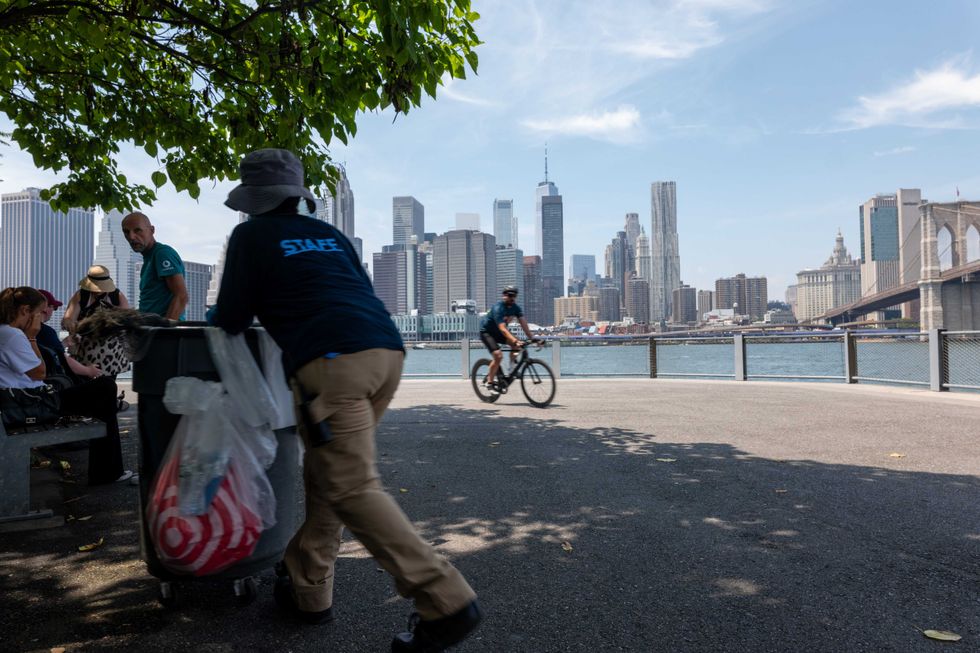 People gather along the Brooklyn waterfront on July 9, 2024.Spencer Platt/Getty Images
Thunderstorms will soak the metro area on Thursday night, especially to the south in New Jersey.
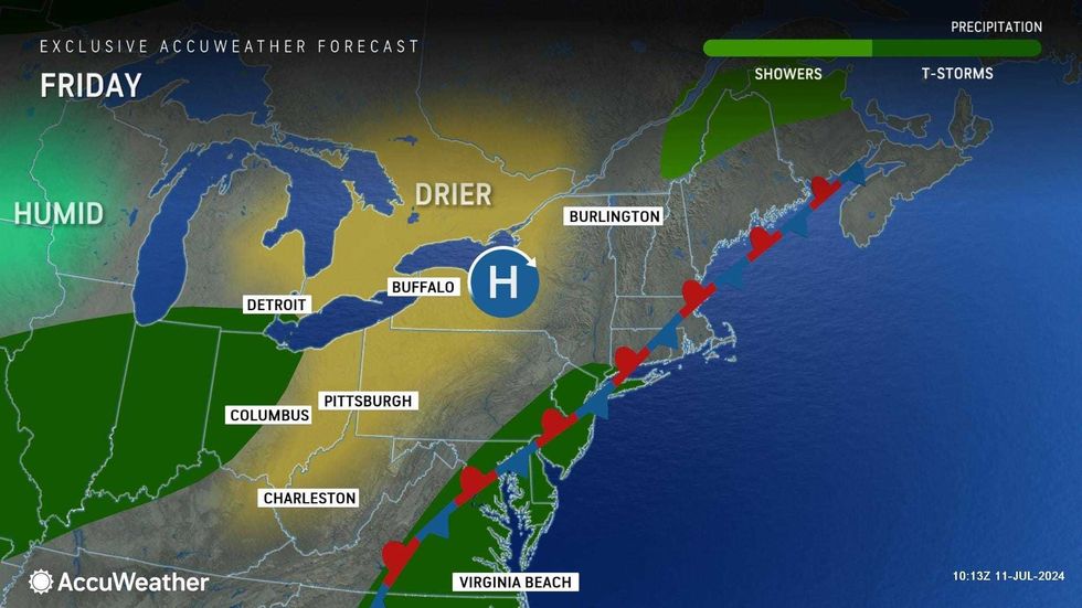
The stormiest weather is forecasted for Friday, when flooding downpours and thunderstorms may pop up throughout the afternoon and into the night. The high will be 84.
Friday's storms may linger into Saturday morning before clouds give way to sunshine. The high will be 86, with RealFeels in the 90s on a very hot and humid day.
 AccuWeather
Sunday will mark a sharp return to oppressive heat—the high is forecasted to be about 92 in Midtown.
According to AccuWeather, the city's third heat wave will last through the middle of next week, with highs up to the mid-90s on Monday, Tuesday and Wednesday.
For New Yorkers looking to beat the heat, NYC has a map of cooling centers, as well as a map of places to hydrate, refresh and stay in the shade. For more, visit nyc.gov/beattheheat or call 311. Here's a list of beaches and outdoor pools in the city. State parks and beaches are also open. Here are cooling centers in New York State, New Jersey and Connecticut.