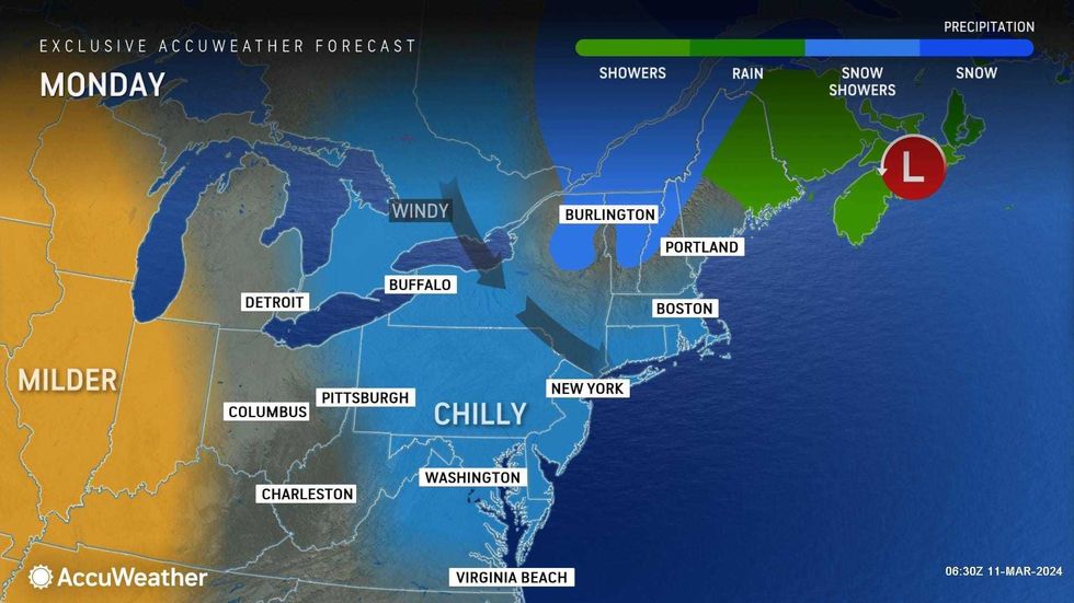
NEW YORK (1010 WINS/WCBS 880) – Batten down the hatches! Monday is very windy and chilly in the New York City area as the departing weekend storm continues to whip up powerful gusts.
The National Weather Service issued a Wind Advisory until 11 p.m. Monday for all five boroughs and the entire Tri-State area, warning of sustained winds of 20 to 30 mph throughout the day.
Gusts may frequently top 50 mph at times, according to AccuWeather, which said gusts near 60 mph were recorded at Newark Airport in the morning.
 AccuWeather
 AccuWeather
The windy weather is coming from the storm that caused heavy rain over the weekend; it's moving over the Canadian Maritimes and cranking up a huge wind field.
Monday's winds could topple power lines and trees, bringing the risk of outages and flying debris, and also hampering travel.
MTA Bridges and Tunnels banned empty tractor-trailers and tandem trucks on its seven bridges—including the Verrazzano-Narrows and Triborough bridges—until 10 p.m. Monday, and Con Edison said it mobilized its crews to respond to power issues.
 AccuWeather
While Monday's high will be 52 in the city, RealFeel temps will hover in the 20s and 30s most of the day.
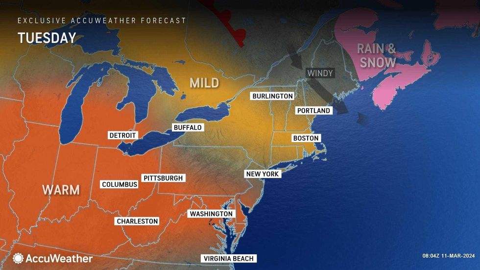
The blustery conditions will slowly diminish Monday night, giving way to a sunny, breezy and warmer Tuesday, when the high will be 63.
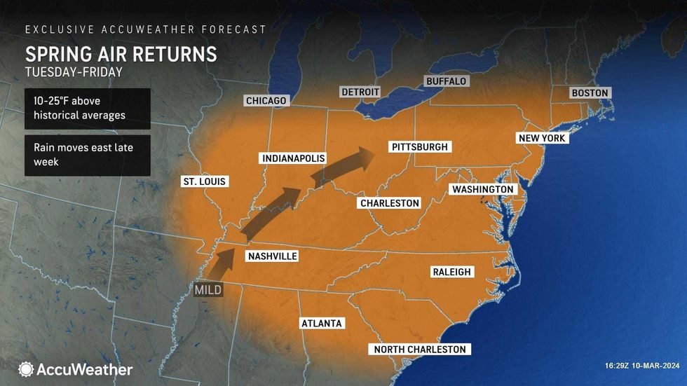
The warmup will continue Wednesday and Thursday—with highs near 70 both days under mostly sunny skies—before another chance of rain Friday.