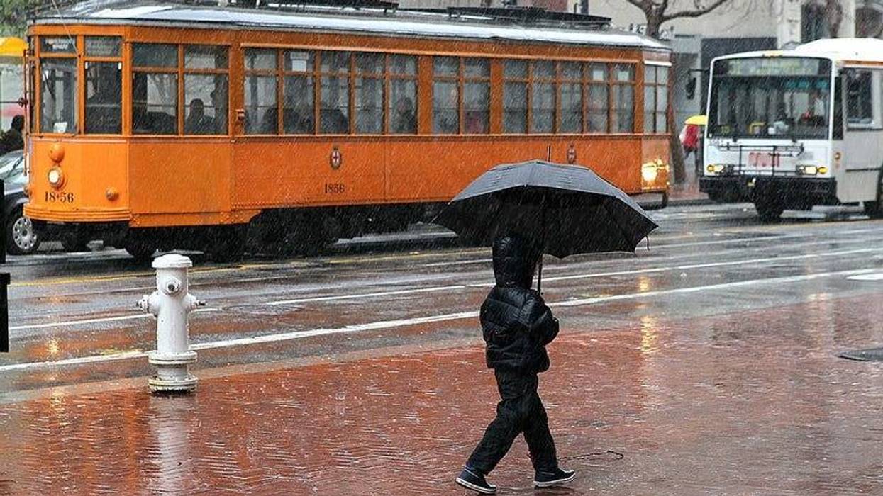
Wind, rain and snow are returning to Northern California and parts of the Bay Area this week, but you can expect higher temperatures than last week.
Rain is expected to move through the Bay Area later in the week, while snow continues to pile up in the Sierra Nevada. National Weather Service Meteorologist Brooke Bingaman said it'll be a mild system in the Bay Area.
"With highs around the upper 50s to low 60s, and the overnight lows are generally going to be in the mid-to-upper 40s," Bingaman told KCBS Radio.
Last week there was frost in lots of sea level areas of the Bay Area, not so much this week but light precipitation is forecast to return to our region.
Bingaman said there will be "a weak cold front though today into tomorrow, bringing light rain to the area" on Friday. The Bay Area is expected to be dry on Wednesday and Thursday.
If you plan on heading for the Sierra, the Sacramento weather office said traffic could be impacted by the snowfall.
It's smart to plan for weather and traffic, especially on Interstate 80 and U.S. Highway 50, according to Bingaman. She said to over-pack and prepare as if you will get stuck.
"Make sure you have a sleeping bag or extra blanket in your car just in case it gets super cold," Bingaman said. "Make sure you have granola bars or some simple form of food supply, and even a jug of water."