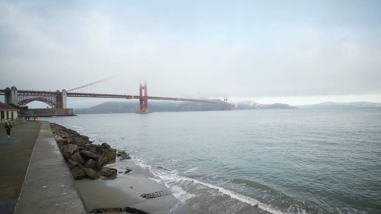
December is off to a hot start in the Bay Area.
Hotter than ever in the region's three biggest cities, in fact.
Oakland (73 degrees), San Francisco (73 degrees) and San Jose (75 degrees) all experienced its hottest Dec. 1 on record on Wednesday. San Francisco International Airport also matched its previous high of 70 degrees, first set in 1959.
National Weather Service Bay Area meteorologist Warren Blier told KCBS Radio on Wednesday night that temperatures were "even more extraordinarily" warm relative to normal at higher levels of the atmosphere, but a thick, cooler boundary layer up to about 5,000 feet kept temperatures cooler at the surface.
"Speaking for myself, it's been gorgeous weather," Blier, Science Officer for the agency, said in an interview. "In my opinion, it's been absolutely beautiful out."
"What tempers my personal delight in having this type of weather is that we need rain," he added.
Outside of a smattering of showers in early November, the Bay Area hasn't experienced significant rainfall since the atmospheric river storm toward the end of October, while the region remains in a drought.
That storm was enough to take fire concerns "off the table" for the rest of the year, according to Blier, and it ensured the Bay Area was still far above normal total rainfall dating back to the start of the water year in October.
Blier said the region wouldn’t start falling behind until the end of the month, at the earliest, so there’s plenty of time left to "completely make up" for the Bay Area's most recent dry spell. Rain is also possible, but "kind of iffy," at the beginning and end of next week.
"(It) certainly doesn't look to be anything that would bring significant precipitation," he said.
An ever-so-slightly higher chance of precipitation will coincide with gradually cooling temperatures heading into next week. By the start of it, Blier said the daily forecast will “probably” look more seasonally appropriate thanks to temperatures that "would be normal for this time of year."