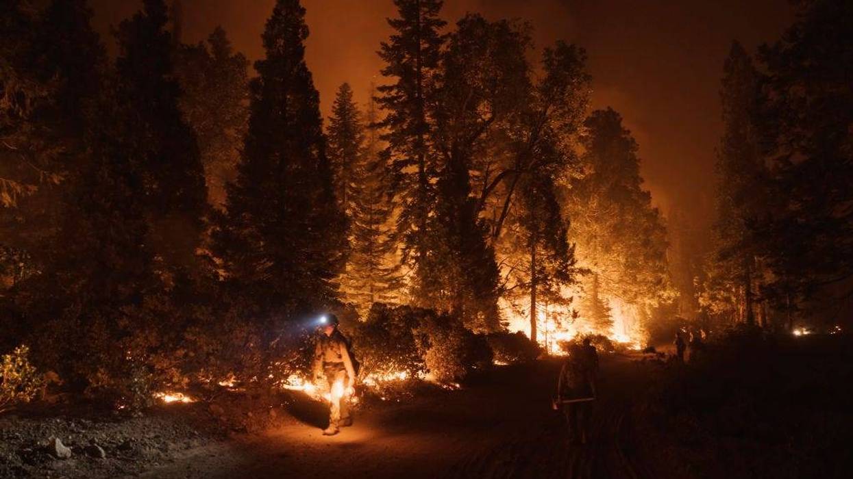
SAN FRANCISCO (KCBS RADIO) – A new study out of UC Riverside has been tracking greenhouse gas emissions from wildfires.
For more, stream KCBS Radio now.
The focus is on the actual plumes of smoke created by the wildfires, using a ground-based remote sensing technique.
"It's similar to what satellites can do, but we actually have an instrument on the ground," said Francesca Hopkins, assistant professor of climate change and sustainability at UC Riverside on KCBS Radio's "Ask an Expert" with Eric Thomas on Monday.
The tool looks up and sees the entire column of air above it, and can see the large smoke plumes that are traveling up from the fire.
"The advantage of this technique is we're able to measure the fire downwind," she said. "We don't have to get really close to the fire where it can actually be dangerous and challenging to make measurements."
Before this, measurements were taken at the site of combustion.
The study looks at carbon dioxide, carbon monoxide, methane, and particulate matter created by these plumes.
"That particulate matter is what made our air quality so bad, made the sky look so funny," she said.
Researchers looked at the ration of these gases compared to each other and used that to estimate emissions.
DOWNLOAD the Audacy App
SIGN UP and follow KCBS Radio
Facebook | Twitter | Instagram