
The National Weather Service warns that tornadoes, quarter-sized hail and wind gusts of up to 70 mph are possible.
There is a chance for severe weather and flash flood potention starting this afternoon into the evening hours.
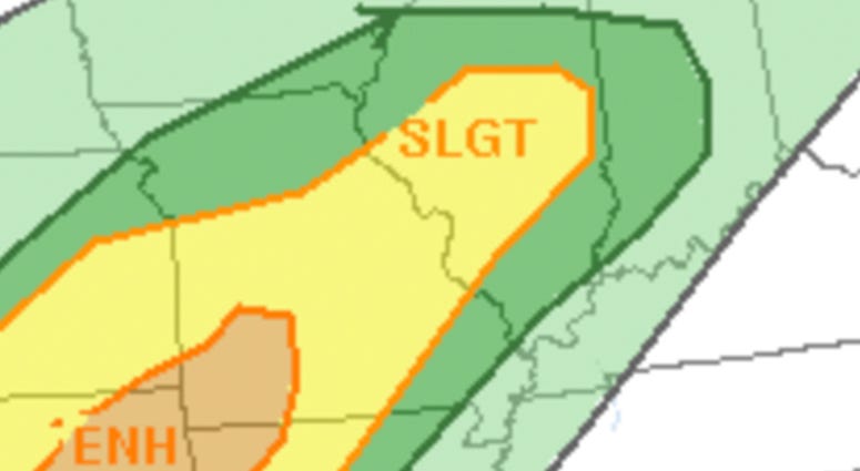
The main threat with these storms is damaging wind and large hail. Isolated tornadoes are possible with this system as well.
At about 3 p.m., the Edwardsville Fire Department posted that a tornado warning was issued in this region and eastward toward Marine, Illinois. The warning has since expired, and no damage was reported.
The overnight threat for severe weather diminishes but showers and non-severe storms are likely.
Storms will persist into Tuesday night, the greatest risk of severe thunderstorms is forecast to extend along an approximate 1,000-mile-long swath from central Texas to central Illinois.