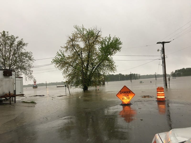
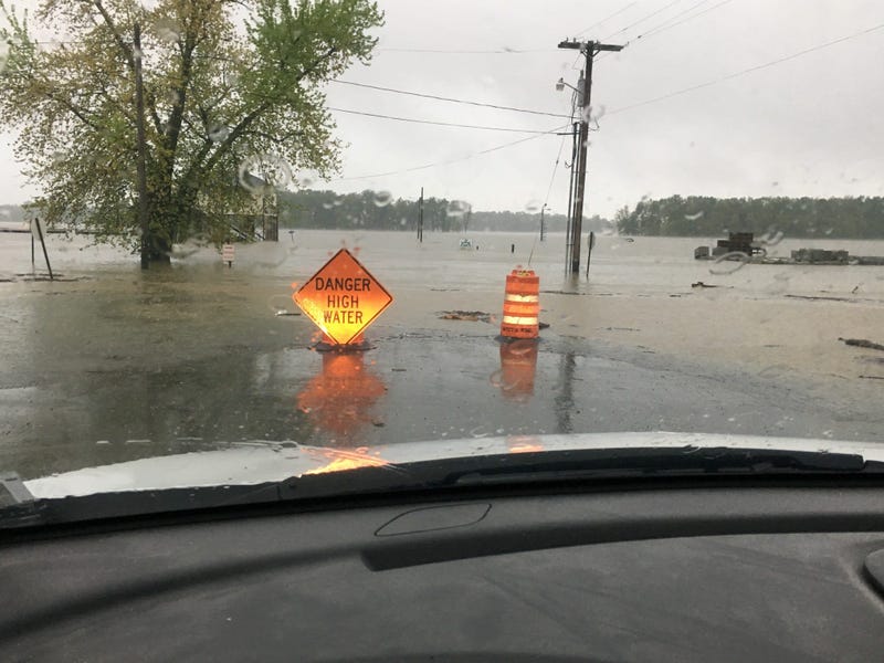
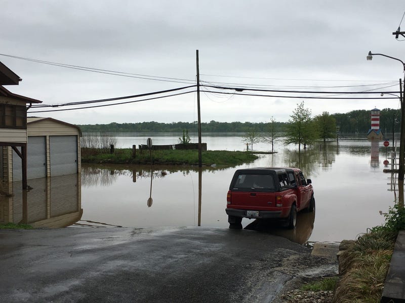
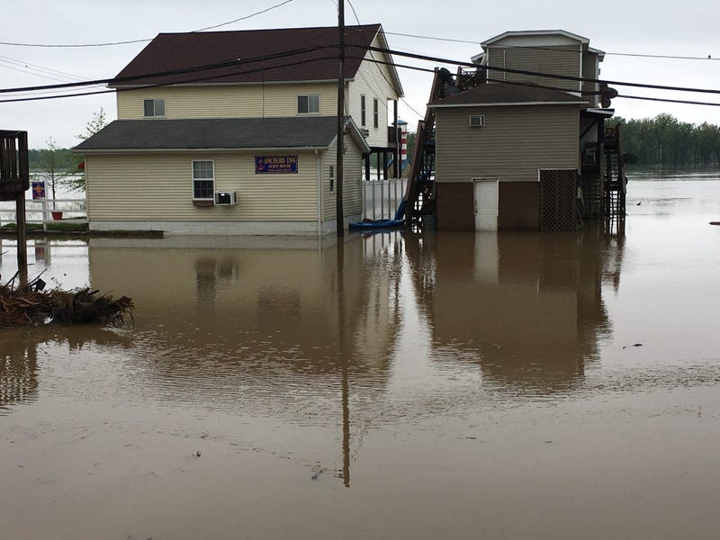
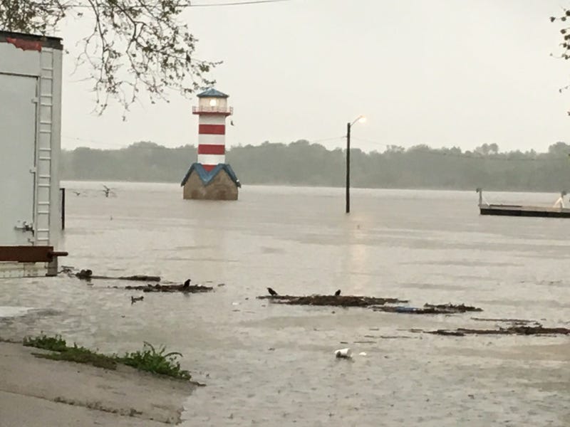
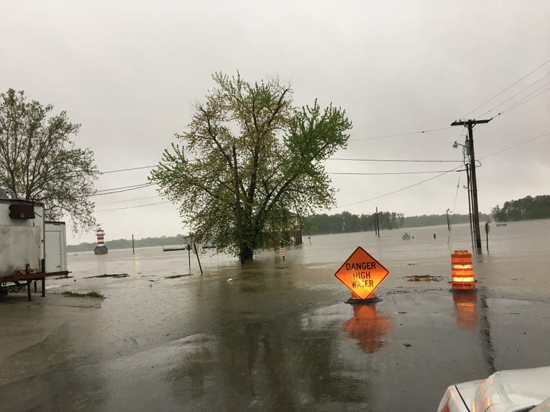
Emergency crews in St. Louis, St. Charles prepare for flood approaching historic 1993 levels
River Des Peres is apparently so high that the City of St. Louis is closing a bridge over it. They're filling sandbags and blocking off traffic on Alabama Avenue over the waterway. The city says the bridge will remain closed until water levels recede.
The Mississippi River is now closed to all vessel traffic at St. Louis, the result of severe flooding. The U.S. Coast Guard shut down the river Friday for a for a five-mile stretch, citing not only the extremely high water but also the swift current. The river is already more than eight feet above flood stage at St. Louis and expected to rise another four feet by Monday.
Record-high river waters are also being documented between Grafton and Alton, Illinois.
A disaster proclamation has been issued by Illinois Gov. J.B. Pritzker for 34 counties along the Mississippi and Illinois rivers due to flooding. Friday's declaration is to ensure communities battling floods caused by heavy rain will receive state support. The support includes the Corrections Department providing work crews to support sandbagging efforts. The National Weather Service issued flood warnings for several rivers across Illinois on Friday after several days of soaking rain.
Additionally, rising river levels have forced Metropolitan St. Louis Sewer District to shut down it's Watkins Creek pump station. It's part of the system to pump waste water to treatment plants. When the river reached 40 feet and flooded the area, the pumps also flooded. This happened back in 1993 and caused an electrical fire, so now the power is cut and the station shut down. That means the wastewater is being discharged into the river. MSD is warning everyone to avoid contact with the river water.
So far, in Clarksville they've gone through more than 3,000 tons of gravel, 1,000 tons of sand, and more than a million sandbags.
Mayor JoAnn Smiley said, “This is the highest, wettest year in 124 years. The ground is saturated to the highest level in 25 years. Our farmers are in desperate trouble at this point."
In Grafton, Ill., nearly every business from the intersection of Routes 3 and 100 is now closed and evacuated. Water is getting very close to getting into City Hall.
Mayor Rick Eberlin said, “We are totally unprotected. Our entire length of our city is wide open. We just have to wait and see how much debris gets pushed into our banks and how long this will last.”
According to Mayor Brent Walker, the Alton, Ill. is completely saturated, and he expects to be dealing with flooding problems at least through May and maybe in to June.
“In the last six years, we’ve had approximately nine floods," Walker said. "We’re doing control every eight months. And out of those eight or nine floods, the potential looks like five or six of them are going to be top 10’s and that’s a pretty significant statement given the fact that Alton’s over 200 years old.”
Retail business in Alton is over $500 million a year — but now the casino is closed. Some downtown businesses are closed. The mayor said it's a huge hit to the city's economic bottom line.
As the water moves south, it'll land in Kimmswick. Mayor Phil Stang said the city's been closed off completely. He also said two of the town's three access roads are flooded.
“We have pumps because as soon as it rains, we are a bathtub. This flood is projected to be probably either tied for or exceed the second largest flood we’ve ever had,” Stang said.
Projections are that by Sunday it'll be 42-point-5 feet above flood stage. They're building up the levee to reach 46 feet.
The City of St. Louis Health department is advising residents to consult their emergency flood plans, check their home and vehicle emergency supply kits, and stay tuned to local radio or television stations for weather and safety updates.
West Alton is just one of several towns under voluntary evacuation orders. Authorities are asking if you can help sandbag today to do so.
In East Winfield, residents will begin sandbagging along the Pin Oak Levee, starting at 7 a.m. Friday. Residents of Winfield Acres are being told they may want to sandbag their own homes.
West Alton residents are being urged to evacuate by Saturday and those living on the outskirts of Portage Des Sioux are being told to expect 2 and a half-feet of water above the levees protecting them.
The NWS says the rainfall since Jan. 1 in the area is more than 8 inches above the normal amount.
Rivers in the St. Louis area are rapidly rising and that has people moving to higher ground in places like West Alton, Mo. and Grafton, Ill. Emergency operations centers are being setup throughout St. Louis and St. Charles as moderate to major flooding is being forecasted across the metro area.
The National Weather Service in St. Louis is predicting up to a half-inch of additional rainfall in St. Louis, with a flash flood watch for most of the area until 7 p.m., Thursday.
The Metropolitan Sewer District is posting video of River Des Peres flowing backwards due to the rising Mississippi River. MSD says crews are plugging sewers and using pumps to get storm water off the streets.
The River Des Peres is nearing major flood stage.
The fast-rising Mississippi River on Thursday neared levels unseen since the historic 1993 flood and topped it in at least one place as the bulging Big Muddy threatened levees and forced a Missouri town's residents to head for higher ground.
The National Weather Service website on Thursday afternoon showed the river level at 22.64 feet (6.9 meters) at the Quad Cities in Iowa and Illinois, just above the 22.63-foot (6.89-meter) mark reached on July 9, 1993.

