It's a St. Louis tradition: the long-range forecast from trusted meteorologist Dave Murray. It now has a home on the Dave Glover Show on KMOX, where listeners continue to turn for his much-anticipated look at the season ahead.
The three months of Summer are just about over.
June and July brought plenty of rainfall. No drought at all. Some spots were dry — they missed thunderstorm action — but no widespread drought. Temps, not bad for June.
July was rough with a little over half the month bringing 90+ degree heat and tons of humidity. No records, not even close, so a run of the mill heat wave.
Then August. Some ups and downs. A near perfect to start the month. Then, a couple of short runs of the Summer beast but wonderful weather for the last week of the month. We never hit 100 degrees this Summer.
With all said and done, yes, a weird Summer with lots of swings — but nothing, nothing at all, compared to the Summer's of the 1930's, the 1950's and the 1960's…also some impressive heat in the 1980's.
Let's not lose sight of the past and get all hyped up about "A Summer like this has never happened before." There have been many saying this, nationwide, because they leave out the heat of the past records. Without the past you can't know the future. Also, the weather in the national media became a blow it out of proportion, "extreme weather" every day.
When hearing the "chicken little" approach to weather, find out the main source. Where is that info coming from, how was it gathered and what was left out of the data, also screen out the agendas and the politics. It's dangerous out there. It has never been as lucrative to be political than it is today. And remember, day to day weather is not climate...starting to like the phrase "climate alarmism."
But it is time to look forward and say goodbye to Summer, 2025.
Fall officially begins on Monday, September 22, 2025. On Sunday, November 2, 2025 at 2:00 A.M. we'll "fall back." Saturday night, clocks are set back one hour (i.e., gaining one hour).
Some interesting Fall season facts:
*** During the Fall season temperatures do some wild things
High temperatures drop from an average of 85 degrees to 50 degrees
Low temperatures drop from 65 degrees to 35 degrees
*** We rarely rise above 94 degrees
*** We rarely fall below 36 degrees
*** November is typically the wettest month
*** During the Fall season expect, on average, an increase in cloud cover.
On to the future with my Fall forecast for 2025.
September, October and November in St. Louis.
There are about 20 factors in play that I look at and study when putting these long-range forecasts together. In my book, they all have some heavy weight in the final forecast...and this is just not a quick look...this is a process that goes on every day. Weather is my life. I love it.
Here's a short list. Can't give all my trade secrets away.
The analogs...looking back at past weather and then moving forward to compare what's going on in our atmosphere now…analogs may be the most important thing in my long range forecast.
I am focused a La Nina…really almost a neutral stage…in between La Nina and El Nino…and most of Fall we will stay neutral with a hint of La Nina…so some clues but not a lot…however El Nino may make a Winter try…but that is a long way off and for another forecast..and right now that is just a maybe…not going down that road right now.
The solar cycle… We are at the solar max…it seems like it does not want to go away and will be somewhat of a player.
World wide volcanoes… Not just the activity but the locations...critical in a long range forecast...things are still cooking especially in the oceans.
The ocean patterns...just not the Pacific but all around the world…water temps in the Atlantic, around Australia, and the Indian Ocean…are all important.
There are a number of other features that I look at when it comes to the atmosphere and the oceans. Without getting into too much detail, here are some of the items...all important.
The MJO (Madden-Julian Oscillation)
While the MJO is a lesser-known phenomenon, it can have dramatic impacts in the mid-latitudes. That is us. Several times a year, the MJO is a strong contributor to various extreme events in the United States. This continues to be a player for the Fall season. In fact it may be, by far, the biggest player for the Fall and into the Winter, with hints of above average temperatures…and will have to watch the tropics. This is the peak season, especialy September.
The EPO (Eastern Pacific Oscillation)
As the name implies, the EPO is a variation in the atmospheric flow pattern across the eastern Pacific, as well as Alaska. When the EPO is in a positive phase, mild Pacific air flows straight into the West Coast of North America. As a result, when the EPO is negative, Alaska turns warmer than normal and a big cold rolls into the continental U.S. Right now we are neutral.
EP/NP Index
Also very interesting. The East Pacific - North Pacific (EP- NP) pattern is a Spring-Summer-Fall pattern with three main anomaly centers.
The positive phase of this pattern features positive height anomalies located over Alaska/ Western Canada, and negative anomalies over the central North Pacific and eastern North America. Strong positive phases of the EP-NP pattern are associated with a southward shift and intensification of the Pacific jet stream from eastern Asia to the eastern North Pacific, followed downstream by an enhanced anticyclonic circulation over western North America, and by an enhanced cyclonic circulation over the eastern U.S.
Strong negative phases of the pattern are associated with circulation anomalies of opposite signs in these regions.
The AO (Arctic Oscillation)
The Pacific is always a big player…La Nina/El Nino…neutral for Fall.
A cold PDO (Pacific Decadal Oscillation)
Limited effect right now.
The AMO (Atlantic Multidecadal Oscillation)
Two very active flows in the jet stream. The northern jet with the cold air source and the southern jet with the moisture. Both flows will have some fun this Fall season, especially the southern stream.
The TNA (Tropical North Atlantic)
Part of the state of the oceans…focused on a low pressure over Iceland and a high pressure over the Azores.
Indian Ocean Dipole (IOD)
Pacific North American (PNA)..a tri pole pressure pattern.
Western and Eastern Pacific Oscillation (WPO)(EPO)
.
These are many of the factors that come into play and must be looked at all the time for these seasonal forecasts…
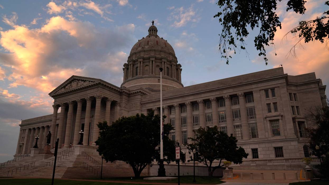
 Win McNamee/Getty Images
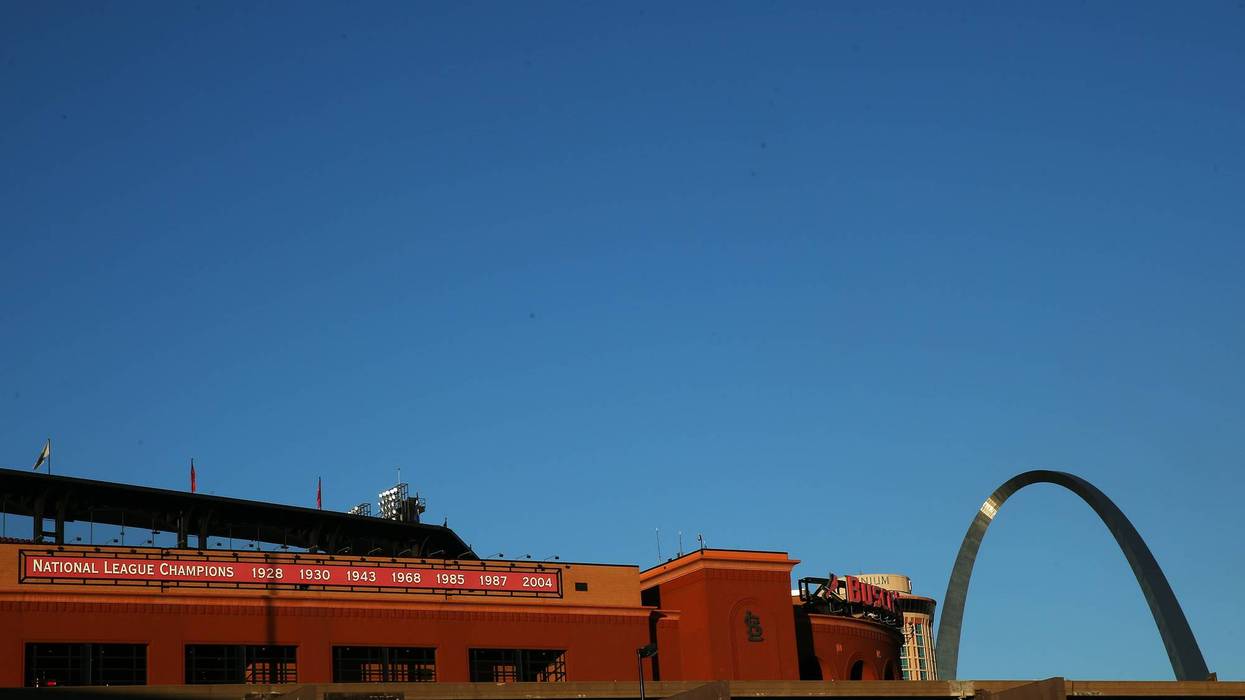
So let's get to the details… The Fall season in STL.
.
The keys to the Fall season...not much La Nina pattern…no El Nino…thinking… neutral for the Fall season…withn that pinch of La Nina.
Remember we never...never...just say…"oh, it is a La Nina or El Nino year...so it means only one idea...game over… No, they are all different...never broad-brush any ideas when it comes to weather…especially long-term ideas.
SEPTEMBER:
.
September Facts:
September 1st…sunrise: 6:30…sunset: 7:31
September 30th..sunrise:6:56…sunset: 6:46
Average high and low: 81.0/60.0
Average rainfall: 2.96"
.
The major factors:
.
*** This September will be known for a rather consistent temperature pattern…all month long.
*** Overall a rather pleasant month…of course there will be one or two cool spells but not cold spells.
*** The key…nighttime temperatures will be making a slow but steady cool down…typical, as we get into the Fall season.
*** When all is done with September temperatures will average out near to slightly above average
*** Records...I don't see any high temperature records and I don't see any overnight records...I don't see any frost or freeze concerns...Let's keep those home gardens going.
*** What about moisture...September typically is a dry month
*** Rainfall will be below average, maybe even well below average…that is good news for the harvest season.
*** Area rivers will be okay.
*** There is a second season of thunderstorms that occurs…typically not until October into early November…thinking limited thunderstorms this September..
SEPTEMBER SIGNS
* BLACK AND WHITE GARDEN SPIDERS ARE COMMON AROUND THE HOME
* LOOK FOR PUFFBALLS AND OTHER FALL MUSHROOMS
* LISTEN FOR MIGRATING BIRDS IN THE EVENING HOURS.
.
.
OCTOBER:
.
October Facts:
October 1st…sunrise: 6:57…sunset: 6:44
October 31st...sunrise: 7:27…sunset: 6:02
Average high and low: 69.2/49.1
Average rainfall: 3.15"
.
The major factors:
.
*** I love the month of October...typically a wonderful month around the region...the heat and humidity of Summer is now a thing of the past....however temperatures are still a big player this month.
*** This October...temperatures will be near average..both day and night…thinking of a really nice month of October.
*** Of course there will be some cool spells as the days get shorter and the nights get longer…the cool down has to happen…but rather limited
*** Records…we should not see any daytime or overnight records…this is not record breaking…but really nice.
*** We typically turn colder by the end of October… and though it is hard to break that trend and idea…just don't think we see a lot of cool to cold weather…even by the end of the month.
*** Frost or a hard freeze is always possible…but not seeing any this October.
*** Rainfall for this October... typically a dry month...and thinking this October will also be dry...with rainfall amounts near average but that is dry.
*** The rivers...large and small should be fine...staying in check...that is always good news…especially going in the Winter.
*** Mid to late October we have to consider the second season of the thunderstorm pattern..and with the above average temperatures I'm forecasting…the second season should be a player for the last half of this October…so the thunderstorm season is not over…we should have 1 or two rock and roll days.
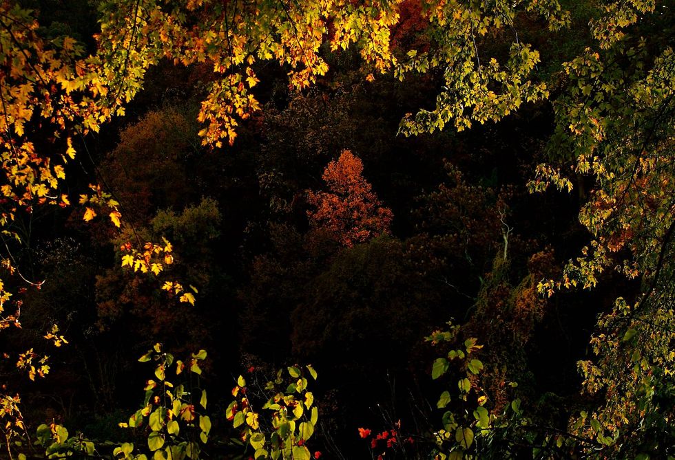
*** The fall colors peak the last weekend of October…into mid November...the season should be good…maybe excellent…becasue the Spring and Summer have been wet…Spring is a major factor…fingers crossed.
.
OCTOBER SIGNS
* PERSIMMONS START TO RIPEN
* LOOK FOR SPIDERS BALLOONING ON GOSSAMERS ON CLEAR, WINDY DAYS
* THE JUNCOS(BIRDS) ARRIVE FROM CANADA
.
.
NOVEMBER:
.
November Facts:
November 1st…sunrise: 7:28…sunset: 6:01
(Time change November 2nd…Fall Back)
November 30st...sunrise:6:59…sunset: 4:40
Average high and low: 55.1/37.4
Average rainfall: 3.42"
Average snowfall: 0.9"
.
.
The major factors:
.
*** November typically brings a steady step down to colder weather…day and night…November is typically a transition month with that process.
*** The catch… this November…I think the step down will tend to be on the slow side.
*** Expect more see-saw temperatures but cold air is going to be hard to find…let's think a mild November
*** I don't see any cold or hot records
*** Yes we will get a frost/freeze…but again a struggle…the best shot waiting until the end of the month.
*** Overall the month will bring near to slightly above average temperatures.
*** The storm track will be active…especially to our north…so even though November typically brings an uptick in moisture and can be a very wet month…I'm thinking this November will be a little on the dry side. Near to a little below average rainfall.
*** The second season of thunderstorms, still in play…focus on the first 5 days of the month…most of the second season action will be in late October.
*** It is November...and of course the snow bunnies start to chatter...what about snow...I don't see any large storm systems that would bring snow...in fact right now not seeing much of anything…even light snow and flurries…no excitement bunnies…nothing to see here…we have to wait for my Winter forecast.
.
NOVEMBER SIGNS
.
* BIRDS BEGIN GATHERING AT THE FEEDERS
* SCAN THE LEAFLESS TREES FOR PAPER NEST OF THE BALD-FACED HORNETS
* WOODCHUCKS ARE ASLEEP IN UNDERGROUND NESTS
.
.
Enjoy the Fall season...we all know it will fly by...it is the season that is very pretty and pleasant most of the time in STL..but it is also the season that we step down into the next season...that of course is Winter...working on some of those ideas now...you all know I like to give the weather a chance and patterns do start to set up especially in October with solid clues about the Winter season…but an early, early clue…maybe a weak El Nino returning…maybe…but not impressed…don't hold me to that.
So enjoy the Fall season, the changing tree colors and pumpkin time and football...my Winter forecast will be out mid to late November.
Time now for any questions or comments...would love to hear from you.