


SAINT LOUIS, MO (KMOX) - It you think there's been a lot of rain, you're right. The official measuring station at Lambert Airport recorded 1 and a half inches of precipitation over 24 hours, breaking a record dating back to 1961.
That's actually less than some areas, St. Charles had 1.8 inches, O'Fallon, Missouri had 1.9.
Heavy rains this week prompted warnings about flash flooding. Near Innsbrook in Warren County, Highway F was closed near Highway O due to a mud and rock slide that covered the road.
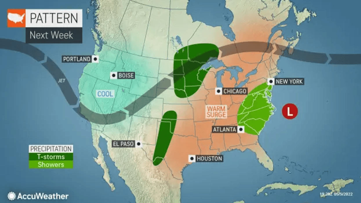
Yet by Monday the cool, wet weather will warm up. Forecasters at AccuWeather expect a high to start the week near the record of 92 degrees set in 1934. It will continue into Tuesday when the St. Louis region could see a high of 95, which would break the current record of 91 for that day in 1963.
Saturday: nicer with a mixture of sun and clouds. High 71.
Sunday: sun, some clouds, breezy and turning milder. High 75.
Monday: sunny, breezy and hotter. High near the record of 92, set in 1934.
Tuesday: very hot for May with a good deal of sunshine. High near 95, breaking the current record of 91
@2022 Audacy (KMOX). All rights reserved.


