Edwardsville, IL (KMOX) - An Edwardsville think tank maps everything from bus routes to insect populations.
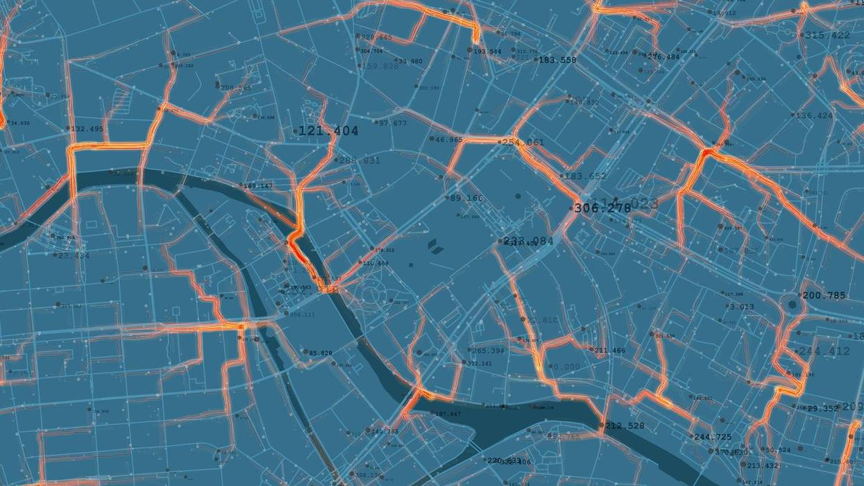
GeoMARC at Southern Illinois University Edwardsville has a dual mission of utilizing geospatial technologies to solve problems and providing a hands-on experience for students in the field.
"We have a relationship with a broad range of industry and government agencies and we take on projects that they send our way and we try to integrate students into almost everything we do," explains GeoMARC Director Randall Pearson.
Speaking with KMOX as part of Total Information AM's weekly segments on the geospatial sector, Pearson says the center does a lot of work in the agricultural sector, including projects with Bayer. For example GeoMARC analyzed changes in insect populations in Germany. "More recently we worked on a project with Bayer looking at milkweed distribution across 17 states trying to understand the proximity of agricultural crops to milkweed habitat as a function of trying to help protect monarch butterflies."
GeoMARC has also assisted the NGA, state and federal agencies, as well as school districts. Pearson explains, geospatial mapping can help school districts optimize bus routes, "we actually use the location of students by grade level and we actually can help identify bus stops. And within those bus stops, we know what students will ride the bus. And then we actually provide a mechanism of routing, doing optimum routing through those stops to pick up students, so that we maximize bus capacity and minimize drive time."
For university students getting practical experience at GeoMARC, Pearson says it's almost like a teaching hospital, "they get to experience what it's like to work with clients, what it's like to actually collect data, process data, analyze data and understand the results."
He add the relationships students form while they work on those projects often helps them move into those industries after graduation.
@2023 Audacy (KMOX). All rights reserved.