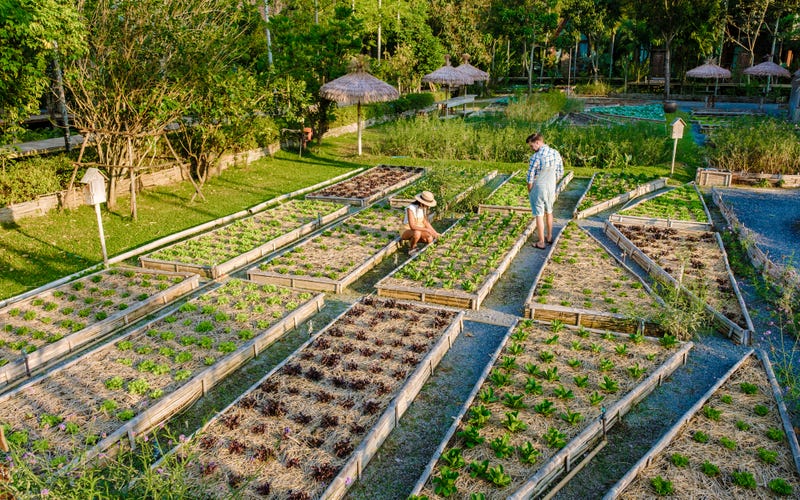
ST. LOUIS (KMOX) - A Harris-Stowe State University researcher is developing a system using geospatial technology that can detect when your garden is wilting and water just enough.
Dr. Rekha Meyer's proposal uses remote sensing and geospatial technology to help improve water conservation in urban gardens.
"The overall challenge is the availability of water in the midst of climate change," said Meyer on Total Information A.M. "We're sort of projecting that there will be shortage of water for urban populations, which is where a lot of people live in U.S."
Using a grant from the Taylor Geospatial Institute, Meyer and a team of students are combining ground moisture sensors, artificial intelligence, and real-time climate and weather data to more accurately predict when watering is necessary.
The long-term goal is to create a cost-effective system for commercial use.
