
Drone technology is finding new airspace. As you heard recently on KMOX's Total Information AM, it's being used to help engineers create multi-layered geospatial maps. Schools are trying to meet demand for drone operators. At Saint Louis Community College's Florissant Valley campus, instructors are training the men and women who have their hands on the controls.
Listen to more on the STLCC Geospatial Drone program
STLCC offers coursework on Geospatial Information Systems as well as instruction for piloting unmanned aircraft, "Once you're a commercial pilot, you can do all kinds of things and people are doing things from being event photographers to real estate support where they will scan houses, neighborhoods, insurance adjusters that'll scan roofs and do inspections that way instead of getting up on the roofs," explains STEM Dean Tom McGovern. On the geospatial side, drones can be instrumental in surveying.
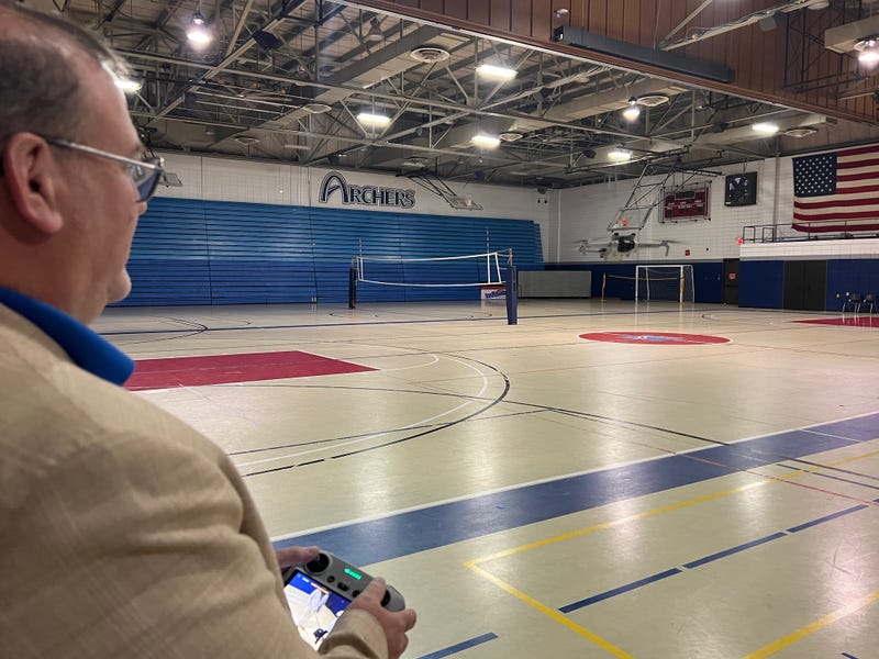
Drone Pilot Instructor Louis Kelly took it up as a hobby after his retirement from Boeing as a lead facility engineer. Then he turned it into contract work providing aerial photos and videos of construction sites in the Saint Louis region. Now he's training students on the ins and outs of flying unmanned craft and preparing them to earn the Part 107 Remote Pilot’s License through the Federal Aviation Administration, which is required to operate a drone for commercial gain. "They need to be able to understand how a drone works and how to fly one in pretty much all types of weather." Plus they need to know how to deal with various work sites, including congested urban areas.
McGovern tells KMOX, because of demand from the geospatial sector, Saint Louis Community College will soon offer a course in autonomous mapping using drones. "So instead of you flying the drone, what you do is you set up a program... ...you're using a piece of software and saying, I want to hit this way point, this way point, this way point and I need X number of pictures and I need X number of resolution across this grid. And then with the right software, you can take all those pieces of data back together, stitch it into a big map that shows what the site was."
McGovern says the courses are popular with students who solely want to focus on piloting unmanned craft, as well as other professionals who want to add it to their skills. "It's just another tool. It's just another way for us to look at the world."
@2023 Audacy (KMOX). All rights reserved.