


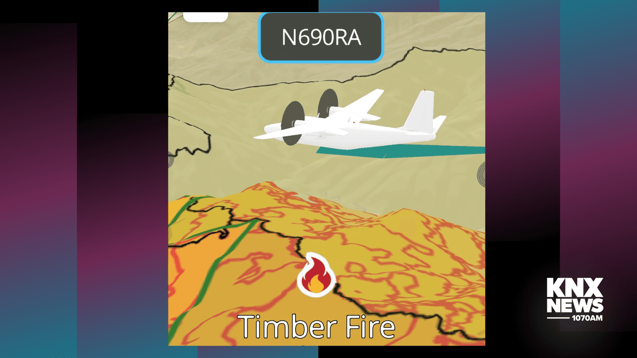

A new app helps people track wildfire activity throughout California. CalFire says it designed the AwareCA app to keep people in the loop about fire activity in real-time.
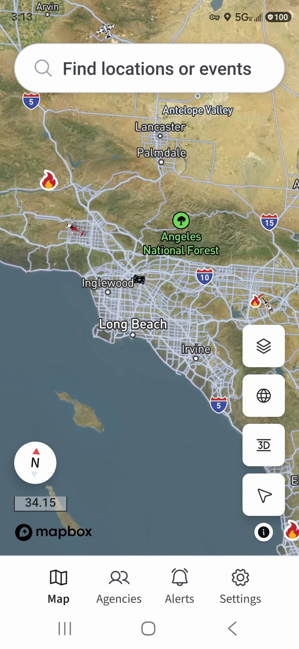 An overview of the mapping inside the AwareCA appScreenshots from Steve Gregory
CalFire Director of Communications Nick Schuler said the app will be available on both Apple and Android platforms. I had a chance to preview the app. It’s very user-friendly and includes all the important overlays and elements of fire activity like detailed weather – wind, speed, humidity, etc., deployment of firefighting assets – including aircraft. Some features not found on similar apps include a 3-D button so the user can see the area of interest in a three-dimensional view, it also tracks firefighting aircraft – in fact, you can watch an aircraft take off, fly over the fire, and land at the airport.
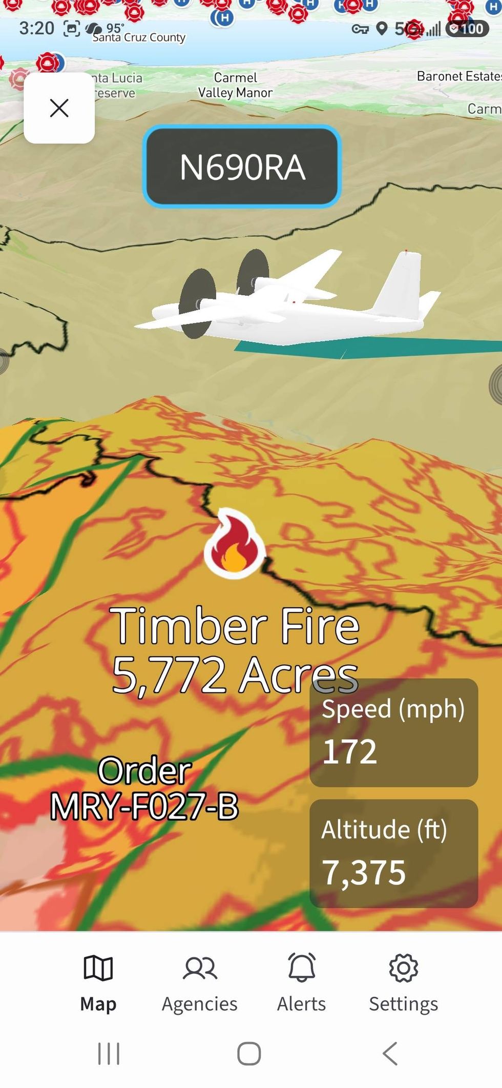 A 3-D look at one of the air attack planes dropping fire retardant on a fire Screenshots from Steve Gregory
When asked how the AwareCA app differs from other apps like Watch Duty, which became popular during the Palisades and Eaton fires last year, Schuler said he applauds other app developers who want to send critical information to the public, but their research shows people want accurate information directly from the source – similar apps count largely on scanner chatter to provide information. Watch Duty says it has ‘reporters’ who work to verify the information from multiple sources, including scanners, live feeds of operational briefings, and tipsters. Watch Duty uses both paid employees and volunteers. Schuler says AwareCA is integrated into each participating fire agencies’ communications and operations system so when information is updated from the scene, it’s also updated in real-time on their app.
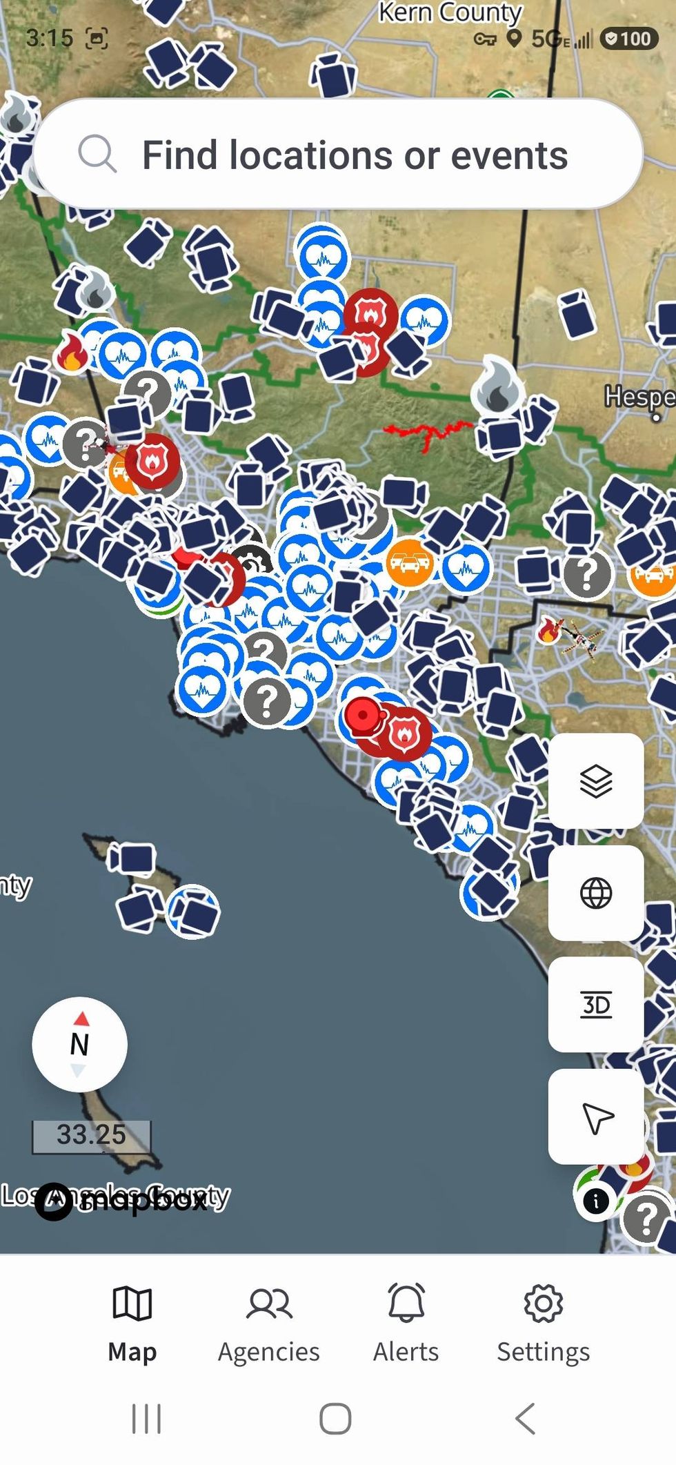 Overlays include locations of hospitals and multiple live camerasScreenshots from Steve Gregory
During CalFire’s after-action report from the Palisades and Eaton fires, Schuler said they discovered during the fires’ 3-week peak period more than 75 million people went to the CalFire website, of which around 85% did it from a mobile platform. He says that’s when they realized they needed to create a way for people to get accurate information in real-time on a digital device.
When I reviewed the app, there were nearly 60 firefighting agencies included. Schuler says more are signing up all the time with the goal of getting every agency on the app. He says it’s possible they’ll add law enforcement in the future, but for now, they want to perfect the integration of firefighting activity then work to expand other incidents later.
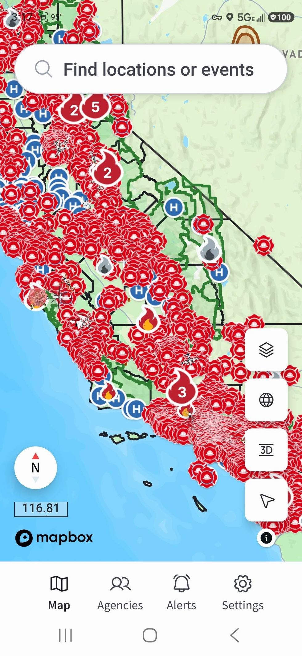 One of the overlays lets you see the locations of every fire department Overlays include locations of hospitals and multiple live cameras
There are multiple overlay options including the location of fire stations, hospitals, traffic cameras, and the Alert California Camera System with more than 1,300 locations. The app includes all the CalFire command radio frequencies so people can hear how firefighters are attacking the fire in real-time.
Schuler says the app is free and there will never be an upcharge or premium fee to access bonus information. He says this type of information should be free to everyone.
The app goes live on Monday, August 24th.
Follow KNX News 1070 AM