DALLAS (1080 KRLD) - Rain has occurred every weekend this month at DFW. Once again there will be a chance of storms.
However, unlike the previous weekends, we are not expecting well organized and long lasting storms. This weekend's storms will be mostly scattered and confined mainly to the afternoons and evenings.
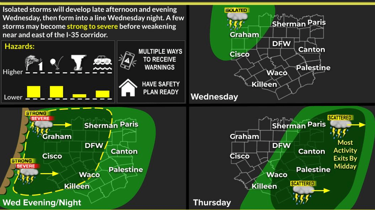
An upper disturbance will continue to track southwest across East and Central Texas this afternoon. Thunderstorm chances will increase this afternoon with the highest coverage expected to be along and east of I-35 and 35E across the northern counties. Due to seasonably hot, humid, and unstable conditions, a few storms may reach strong to severe limits.
Storms are expected to develop across East TX and move westward toward the I-35 corridor. Not everyone will see storms, but a few could pack a punch with strong to damaging winds. Large hail and brief heavy rain will be possible as well. #dfwwx #ctxwx #etxwx #texomawx #abilene pic.twitter.com/DcyUrvOBvN
— NWS Fort Worth (@NWSFortWorth) June 29, 2019 While widespread severe weather is not expected, the strongest storms will be capable of gusty winds and some small hail. Any storm will produce lightning and brief downpours. Highs will range from the mid 80s East to the mid 90s West.Make sure you stay up to date on the forecast if you plan to be outside.
Stay with KRLD for traffic and weather together on the 8's streaming on our Radio.com app.


