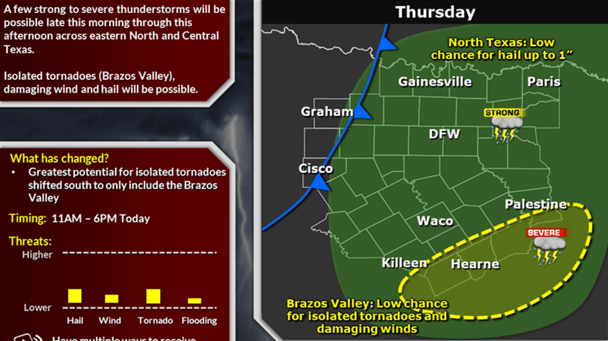
Grab your umbrellas this morning, as you will need one throughout the day today. However, the rain won't last long, as storms will shift east of the area after dinnertime.
We're waking up to extensive cloud cover this morning as scattered showers are starting to develop everywhere across north Texas.
A strong upper-level disturbance, now in central New Mexico, will cruise down Interstate 40 through Amarillo and eventually toward Oklahoma City by this evening.
Widespread showers and isolated thunderstorms will break out as the day wears on. The highest rain totals will be east of the Dallas/Fort Worth area, where some areas will pick up one inch to an inch and a half.
A beautiful Friday is on the way, and an awesome weekend as well! Cool tomorrow with highs in the mid to upper 50s. Low-to-mid-60s for Saturday, mid-to-upper-60s for Sunday.
DFW seven-day forecast:
Today: Scattered showers and isolated storms. Greatest coverage and highest rain totals from Dallas -> east (< 0.25" DFW - 1.00" east of Central Expwy and I-45). High: Low-60s. Wind: South 10-20 mph.
Tonight: Decreasing clouds, breezy and cooler. Low: 40-45. Wind: WNW 10-20 mph.
Tomorrow: Mostly sunny, breezy, and cooler. High: Mid-to-upper-50s. Wind: NE 10-20 mph.
Saturday: Mostly cloudy early, then mostly sunny and cool. High: Low-to mid-60s.
Sunday: Partly cloudy and seasonable. High: Mid-60s.
Monday: Mostly sunny and pleasant. High: Near-70.
Tuesday: Mostly cloudy and nice. High: Mid-60s.
Wednesday: Mostly cloudy and cool. High: Near-60.


