Be on the lookout for severe weather this afternoon through midnight, as all forms of severe weather are possible. The greatest risk is for large hail, damaging wind, and isolated tornadoes along and west of I-35W. Later this evening, weakened storms will be seen throughout DFW.
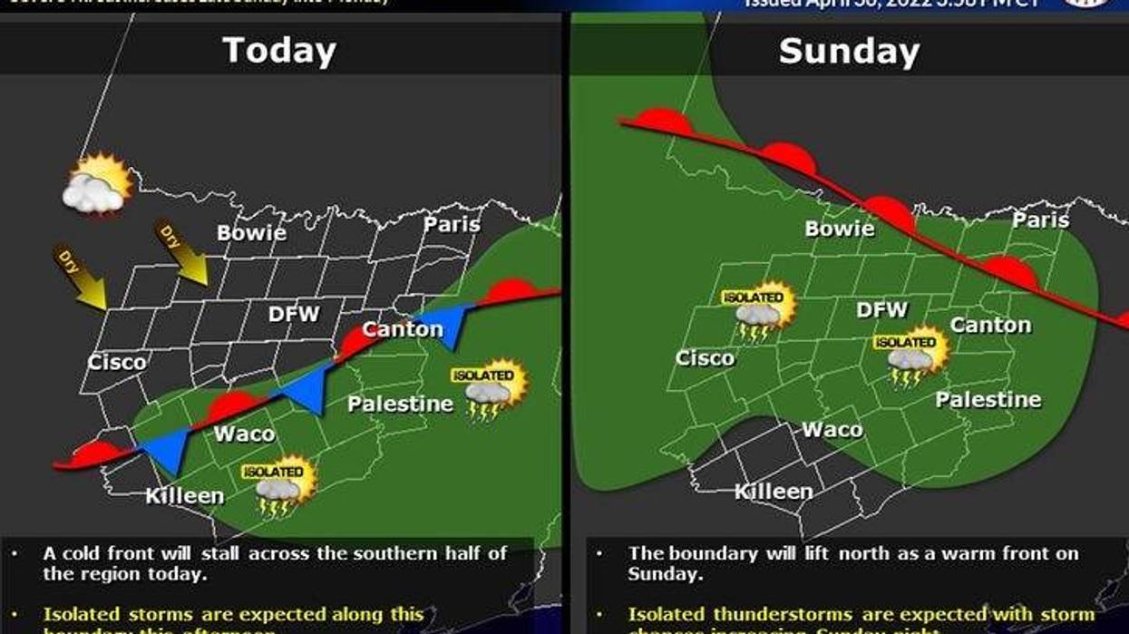
A weak cold front is moving through north Texas right now. Wind will shift to the north and humidity levels will drop for about 24 hours. Afternoon highs will be in the low eighties. No rain has formed along the front, but there will be a few strong to severe storms forming in the Piney Woods of east Texas and western areas of Louisiana later today. A level 2 out of 5 is in place for these areas.
LISTEN TO 1080 KRLD FOR LATEST NEWS, WEATHER & TRAFFIC
The front lifts back to the north tomorrow morning, as the humidity returns, and temperatures warm into the middle eighties.
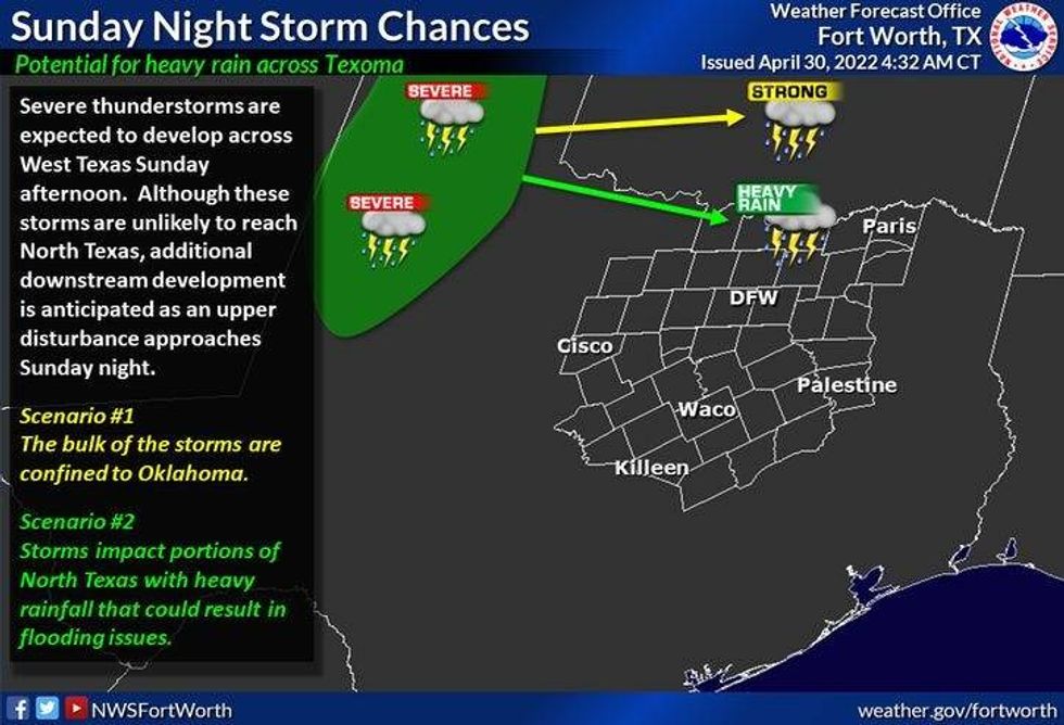
A large area of severe storms will form in west Texas tomorrow late afternoon and press east through the evening and overnight. Some of these storms may move into north Texas close to midnight. The bulk of the severe weather and heaviest rain will be in Oklahoma, but residents that live north of I-20 need to stay weather aware. I'll be monitoring.
 NWS
NWS
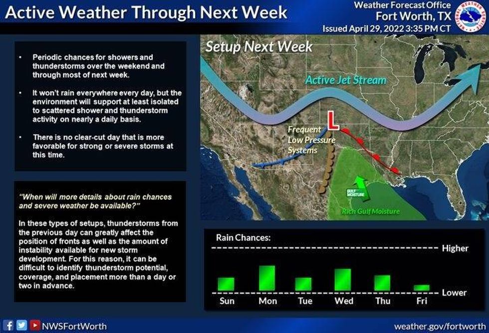
Monday's relatively dry as well as Tuesday, but by Tuesday evening we may see a complex of storms form ominously close to DFW, as the cold front goes stationary just to our south. Rinse and repeat for Wednesday evening.
This active weather pattern will continue through the rest of the week.
 NWS
NWS
Residents that live in Kansas, Missouri, Oklahoma, and Texas need a monitor the weather all week next week. The 1st week of May will be very active! Stay tuned.

LISTEN on the Audacy App
Sign Up and Follow NewsRadio 1080 KRLD