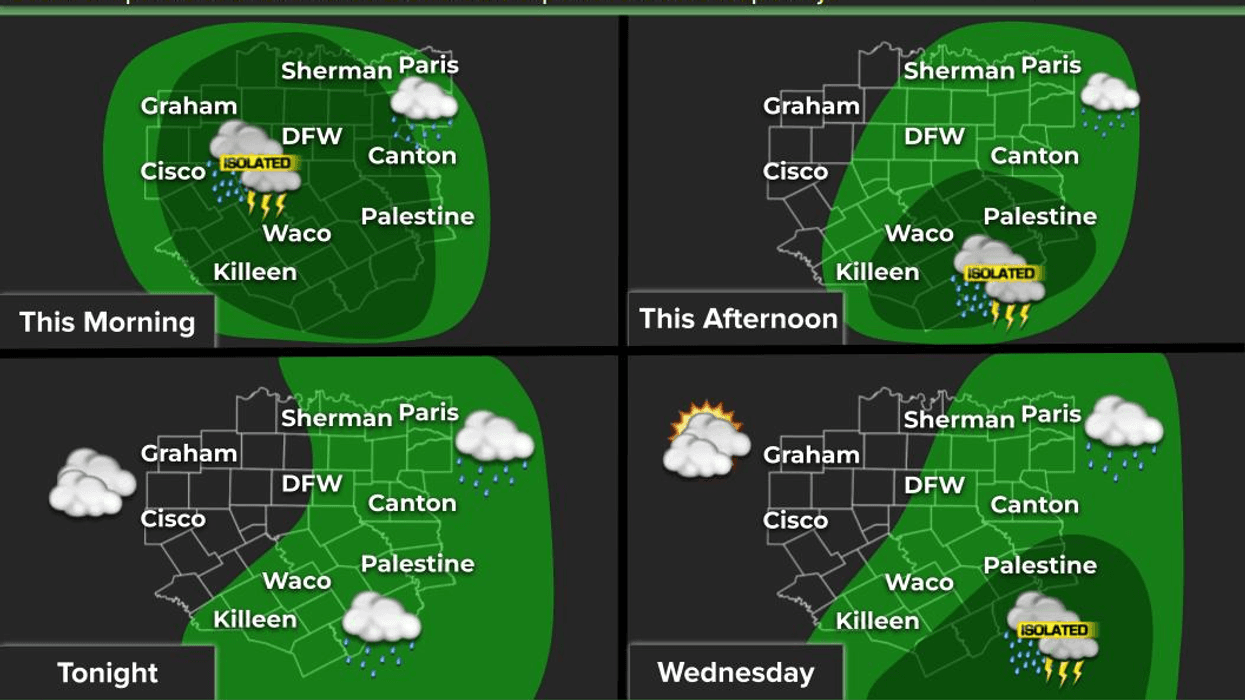
We're starting off in the 70s again this morning and we will warm back up into the upper 90s this afternoon. Heat advisories are in effect for areas just east of Dallas today. We also have an Air Quality Alert in effect today as well.
Temperatures will trend down a little bit as we approach the weekend, with a slight chance of a few late day showers and storms sneaking in from the southeast. Best chances will be across central and east Texas, with daytime highs in the low to mid 90s through the weekend.
By late weekend and early next week, we could have a named tropical system in the Gulf of Mexico. If it does form, where will it make landfall? Residents along the Texas, Louisiana, and Mississippi coastlines need to keep an eye on things early next week. I will as well. I'll keep you posted.
*Yest Rain: 0.00"; *Yest High: 97; Low: 76
*Today's Averages: High: 94; Low: 75
*Record high: 106 (1952); Record low: 61 (1926)
*August rain: 4.82"; August surplus: +3.26"
*2021 Rain: 26.84"; 2021 surplus +2.91"
*Sunrise: 6:58am; Sunset: 8:01pm
Today: *Heat Advisory, just east and north of DFW* *Air Quality Alert* Mostly sunny and hot. High: Upper 90s. Heat index: 102-106. Wind: South 5-10 mph.
Tonight: Clear and muggy. Low: Mid to upper 70s. Wind: South 5-10 mph.
Tomorrow: Mostly sunny and hot. High: Mid to upper 90s. Heat index: Near 104. Wind: South 5-10 mph.
Friday: Partly cloudy and hot. Isolated late day showers and storms. High: Mid 90s. Heat index near 102 degrees.
Weekend: Partly cloudy, hot and humid. A bit cooler, with a slight chance for a late afternoon storm. High: Low 90s.
Monday: Partly cloudy, hot and humid. Slight chance for a late day storm. High: Low 90s.
Tuesday: Partly cloudy, hot and humid. Watching topics. High: Near 90.

LISTEN on the Audacy App
Sign Up and Follow NewsRadio 1080 KRLD