



Good Thursday morning, July 23, 2026!
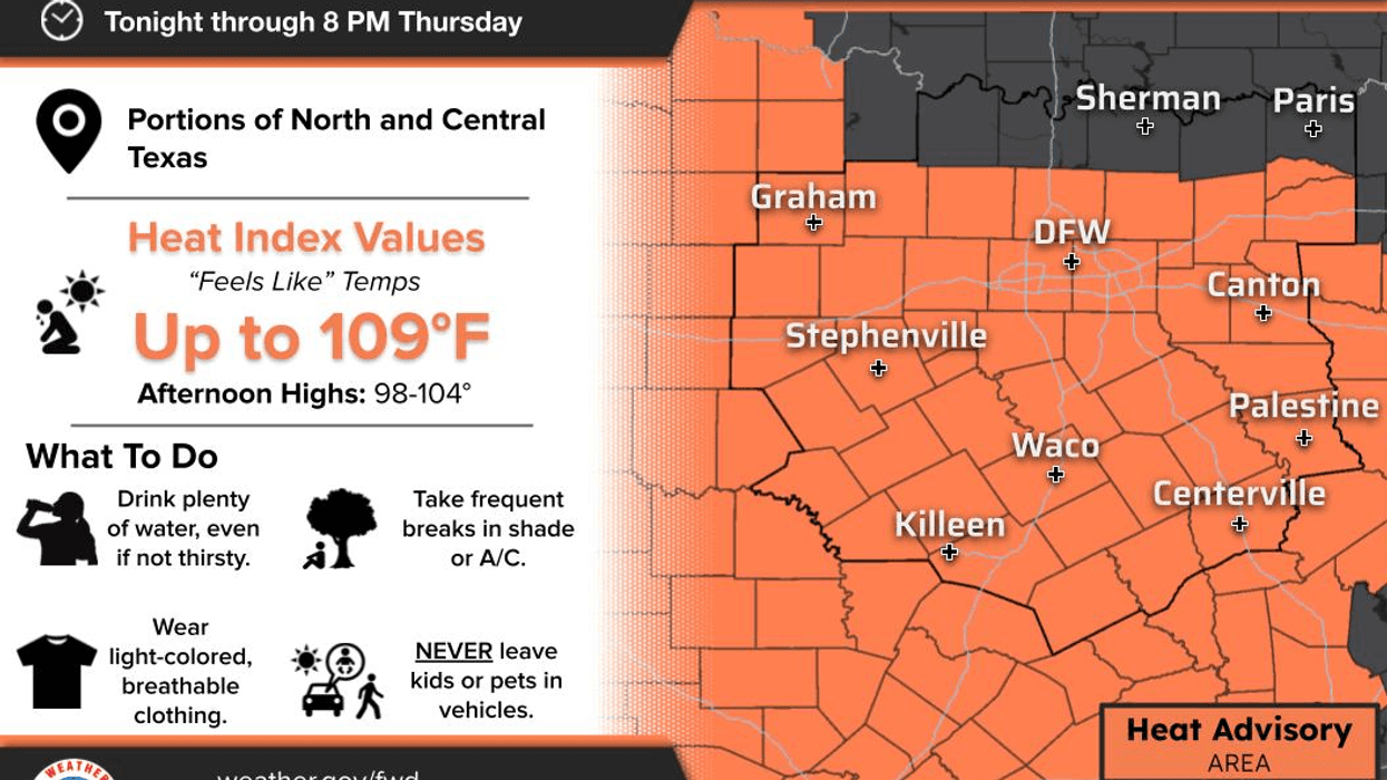
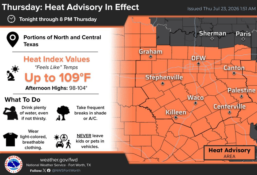
The Extreme Heat Warnings are gone, but Heat Advisories have replaced them across much of North Texas. We're also tracking a slight chance of scattered showers tomorrow, and Tropical Storm Bertha is taking aim at the upper Texas coast near Galveston. Those are your weather headlines as we kick off this Thursday morning.
We're waking up to slightly drier air this morning with temperatures ranging from the mid-70s to the mid-80s, with the warmest readings in the urban heat island. Yesterday, DFW Airport topped out at 106°, falling just short of a record.
Today will be a little more comfortable—if you can call upper 90s comfortable in July! We can thank a weak cold front that has stalled south of North Texas. Afternoon highs will reach the upper 90s with an east-northeast breeze of 10 to 20 mph.
Tonight will be partly cloudy with lows between 76° and 82°.
On Friday, highs return to the upper 90s, but humidity will increase once again, so Heat Advisories will likely be needed. As the remnants of Bertha move into South Texas, we could see a few scattered showers and thunderstorms develop across parts of North Texas late Friday into Friday night.
Looking ahead:
Saturday: 101°
Sunday: 102°
Monday: 102°
Tuesday: 103°
Wednesday: 104°
For now, it appears Heat Advisories will continue rather than Extreme Heat Warnings since afternoon humidity levels should be a bit lower. We'll continue to monitor that forecast.
As always, if you're working outdoors, stay hydrated, take frequent breaks, and wear light-colored, loose-fitting clothing, along with sunscreen and a hat.
Don't forget your pets—make sure they have a cool place to stay during the hottest part of the day, and avoid hot pavement. Please check on elderly neighbors and loved ones, and always check the back seat for children before leaving your vehicle.
Stay cool, my friends!
I'm Meteorologist Dan Bruno for the KRLD Weather Center. Have a blessed Thursday, and enjoy the weather when you can—it's the only weather you've got!
7-Day Headlines:
* DFW Airport reached 106 on Thursday
* Heat Advisory today through 8pm
* TS Bertha make landfall in Galveston today, coastal rain and wind
* Isolated late-day showers and storms on Friday
* A bit cooler today and tomorrow
* Triple digits return this weekend through next week
* Please download our Audacy app. Listen to NewsRadio 1080am live anytime/anywhere
Almanac:
*Yest Rain: 0.00”; Yest High: 106; Low: 85R
*Today’s Averages: High: 97; Low: 76
*Record high: 105 (1974); Record low 59 (1970)
*July rain: 1.36”; Deficit: <0.30”>
*2026 Rain: 21.25”; Snow: 2.4” Surplus: 0.66”
*Sunrise: 6.36am; Sunset: 8:33pm
Forecast:
Thursday: **Heat Advisory** Partly cloudy, breezy and hot. Heat index: Near 105. Wind: South 10-20 mph.
Thursday night: Partly cloudy, breezy, and warm. Low: 76-82. Wind: East 10-20 mph.
Friday: Morning clouds, afternoon sun. Breezy and hot. Isolated late day showers and storms, especially south of I-30. Heat index: Near 105. Wind: South 10-20 mph.
Saturday: Partly cloudy, breezy and hot. High: Near 100. Heat index: 105+
Sunday: Mostly sunny and hot. High: 101. Heat index: Near 105+.
Monday: Mostly sunny and hot. High: 102. Heat index: 105+.
Tuesday: Mostly sunny and hot. High: 103. Heat index 107+.
Wednesday: Mostly sunny and hot. High: 104. Heat index 108+
LISTEN on the Audacy App
Tell your Smart Speaker to "PLAY 1080 KRLD"
Sign Up to receive our KRLD Insider Newsletter for more news
Follow us on Facebook | Twitter | Instagram | YouTube


