


Monday will be another day of Excessive Heat Warnings across North Texas, but a weak cold front will cool temperatures down several degrees starting on Tuesday. No rain will accompany this front.
Monday morning started with temperatures in the 80s under a clear sky. The blue Super Moon set in the western sky shortly after 6:30 a.m. There will be plenty of sunshine with afternoon highs between 103 and 107 degrees, with the hottest temperatures west of Interstate 35W.
There is a weak cold front in Arkansas that will back into North Texas from the northeast on Tuesday. Temperatures will be much cooler east of the Dallas-Fort Worth area with highs only in the mid-90s. DFW will get very close to 100 degrees, but it will be cooler than what we will all experience on Monday. Afternoon highs range from 95 to 103 degrees from east to west.
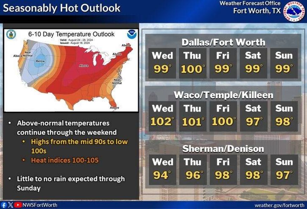
Dry air will filter in for the northeast Tuesday through Thursday with afternoon highs in the mid to upper 90s. Heat Advisories may go away for a few days. The hottest temperatures will be well to the west of Dallas-Fort Worth.
By Friday, there'll be a system in the Gulf of Mexico propagating to the west towards the Texas coast. This will increase the humidity across North Texas, but it looks like the best rain chances will stay well to the south of the Dallas-Fort Worth area. Afternoon highs will remain in the upper 90s but heat index values will get above 105 again.
 Forecast for North TexasNational Weather Service
7-Day Headlines
* DFW Airport reached 105 on Sunday, the 19th triple-digit day this summer.
* Excessive Heat Warnings and Heat Advisories on Monday. Heat index values 107-112 degrees.
* Backdoor cold front Tuesday. No rain with it.
* Slightly cooler and drier Tuesday - Friday.
* Increasing humidity this weekend.
* Slight rain chance south of DFW this weekend.
_____________________________________________________
*Sunday Rain: 0.00"; Sunday High: 104; Low: 81
*Monday's Averages: High: 96; Low: 76
*Record high: 108 (2023); Record low: 62 (1940)
________________________________________________________
*August Rain: 0.35"; Deficit:
*2024 Rain: 31.64"; Surplus: 8.17"
*Sunrise: 6:55am; Sunset: 8:08pm
_______________________________________________________
Monday: *Excessive Heat Warnings and Heat Advisories* Mostly sunny and VERY hot. The hottest day of the year in the way! High: 106. Heat index: 110-113. Wind: WSW 5-15 mph.
Monday night: Mostly clear, warm and muggy. Low: Low 80s. Wind: WSW 5-10 mph.
Tuesday: *Heat Advisories for some* Backdoor cold front. No rain. Partly cloudy, not as hot. High: 95-102. Hottest west of I-35W. Heat index: 100-107. Wind: NE 10-15 mph.
Wednesday-Friday: *Possible Heat Advisories for some* Partly cloudy and hot. Highs: Upper 90s. Heat index: 102-107.
Weekend: Partly cloudy, hot and humid. Highs: Upper 90s.
LISTEN on the Audacy App
Tell your Smart Speaker to "PLAY 1080 KRLD"
Sign Up to receive our KRLD Insider Newsletter for more news
Follow us on Facebook | Twitter | Instagram | YouTube


